Shadow Project DWG Full Project for AutoCAD
Project and calculation of shadows of a building housing
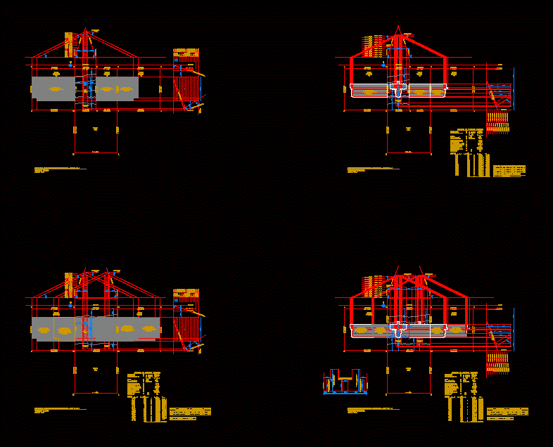
Drawing labels, details, and other text information extracted from the CAD file (Translated from Spanish):
median axis, crowning, not projected, shadow on ground, south neighbor, plant area, mountain range building, axis road, official line of closure, line building, area, plant, neighbor, south, west, official line, shadow area, east , line of construction, line of closure, street axis, average slope, surface area, soil occupation, coefficient of constructibility, grade, system and grouping, height max. of building, height and theoretical floors, number of floors edif. Theoretical, maximum height theoretical building, sup. Total built, land occupation, constructibility, studio, isolated, second floor, ocean building, neighbor to the west, neighbor to the east, ocean building, ocean building and, theoretical volume, projected volume, according to cip, height e floor, plants projected volume, finished floor level, surfaces, volume, total, orientation, theoretical volume, projected volume, difference, volume, ocean, mountain range
Raw text data extracted from CAD file:
| Language | Spanish |
| Drawing Type | Full Project |
| Category | Condominium |
| Additional Screenshots | |
| File Type | dwg |
| Materials | Other |
| Measurement Units | Metric |
| Footprint Area | |
| Building Features | Deck / Patio |
| Tags | apartment, autocad, building, calculation, condo, DWG, eigenverantwortung, Family, full, group home, grup, Housing, mehrfamilien, multi, multifamily housing, ownership, partnerschaft, partnership, Project, shadows |