
Unpaved Roads Map Of Tacna DWG Block for AutoCAD
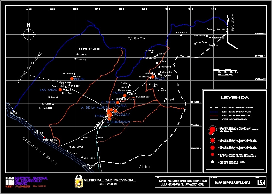
Map of Tacna unpaved roads, where you can see all the ways of Tacna and the current state in which they find themselves. well as their adequate hierarchization
Drawing labels, details, and other text information extracted from the CAD file (Translated from Galician):
graphic scale, secondary urban center of the province, district capital, deparmental and regional, capital, bolivia, vilavilani, santa rosa, pampa yarada, mouth of the river, pacific ocean, olive trees, yarada, huayco, golpe , pto. degree, villa village, the band, kilona, the clubs, chile, the danger, calana, pocollay, g. albarracin, tacna, a. of the alliance, c. new, chuschuco, huaycuyo, miculla, pachia, charipujo, district., sambalay grande, coruca, yarascay, jorge basadre, poquera, yarahuay, good view, yaras, incl, miraflores, tomasiri, berlin, toquela, muruhuyo, tocuco, calientes, challata, huanune, causori, challaviento, ancoma, tarata, chulpapalca, ingenio, ataspaca, caplina, centro urbano provincial ,, legend, chontacollo, paucarani, ancomarca, alto peru, senja, ancochulpa, Munich delegate, urban center tertiary of, province, rural urban center, development, ministry of transport communications, national institute, urban, housing and construction, ciu, eroica, pedro, san, dad, study :, description:, lamina: , territorial conditioning plan, asphalted road map, international boundary, asphalt roads, district boundary, province boundary
Raw text data extracted from CAD file:
| Language | Other |
| Drawing Type | Block |
| Category | Handbooks & Manuals |
| Additional Screenshots |
 |
| File Type | dwg |
| Materials | Other |
| Measurement Units | Metric |
| Footprint Area | |
| Building Features | |
| Tags | adequate, autocad, block, current, DWG, find, map, roads, state, Tacna, ways |