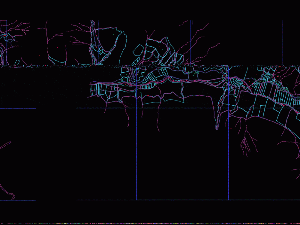
Cadastral Huanuco DWG Block for AutoCAD
Inf plane. COFOPRI cadastral parcels consisting of updated cadastral units
Drawing labels, details, and other text information extracted from the CAD file (Translated from Spanish):
road pedregozo jacuan, zanjon jecuan retes, area affected by the river, road huaral acos, new town populated center, chancay river, highway running away, lima road huaral, jecuan, lumbra populated place, fujimori fujimori road, old carriage, house ranch la candelaria, National University of San Marcos, el angel city center, san josé de aucallama channel of diversion, zanjon that divides jecuan retes, I walk the community lomera de huaral, area affected by the river, bypass channel low boza, road huaral acos, main channel mines, low boza channel bypass, main channel lumbra, main channel huayan, santa elena town center, candelaria town center, archaeological zone cerro andomas, archaeological ruins san francisco de lumbra, natural irrigation canal, lima road huaral, Huayco zanjon, road, experimental, bypass channel whose, shrub cover, private factory, I cross the cross, main ditch, high cabuyal road, ex hacienda san martin de retes, village, florida downtown, santa teresa farm, main channel of huando, garcia alonso retes, casuarinas urbanization, main channel, populated center, area affected by the river, I closed the vineyard, acequia chancay bass, trebol urbanization, channel rests orchard high, arborea cover, channel rests orchard under, san antonio hill, aa. H H. central hope, high passaman canal, hills inca mines, mercedes channel branch, town center huacho chico, whose channel, archaeological area, chancay huaral road, road huaral lima, take for ihuari, road natural retes, channel hatillo, hill lomas de ihuari, young town san martin, path, Cerro taita ramos, channel highpass, road hill prieto, high boza channel, carriageway, populated place tupac amaru, high passabroncano channel, hill sacachispa, Cerro Pucara, communal area of ihuari, channel coated, low passabroncano channel, broken la lumbra, side channel on the, acequia san antonio, hill huerequeque, Cerro Vallesteros, irrigation canal, marginal strip, irrigation canal, road jecuan retes, channel, road, hill removes calzon, zona eriaza, zam cross of the kings, low watering channel, lonely young people, San Luis Annex, I close the gate, channel, acequia aparicio, central drain, santo domingo bridge, road quipullin, ceral caboyal, school, I closed the virgin, archaeological area, road san andrés, santo domingo canal, palomino drain, zanjon jecuan, av. victory, canal the virgin, huaral, I closed the pig, in controversy, Cerro Saume, hill trunk, i closed the huayabo, c.p. what time, Cerro Maria Peace, canal vargas, hope grenades, khaki ditch, canal cascajal, I shut the pine, channel maria paz, I closed the mine, Cerro Carbonare, moscow hill, strong black, wooded area, archaeological zone, waterhole, reservoir, sports field, road jecuan, parade ground, right street, khaki road, low channel, the hope, gravel road quince, teacher cooperative, ronc channel
Raw text data extracted from CAD file:
| Language | Spanish |
| Drawing Type | Block |
| Category | City Plans |
| Additional Screenshots |
 |
| File Type | dwg |
| Materials | Wood |
| Measurement Units | |
| Footprint Area | |
| Building Features | Car Parking Lot |
| Tags | autocad, beabsicht, block, borough level, cadastral, cadastre, cofopri, consisting, DWG, huanuco, parcels, plane, political map, politische landkarte, proposed urban, road design, stadtplanung, straßenplanung, units, updated, urban design, urban plan, zoning |
