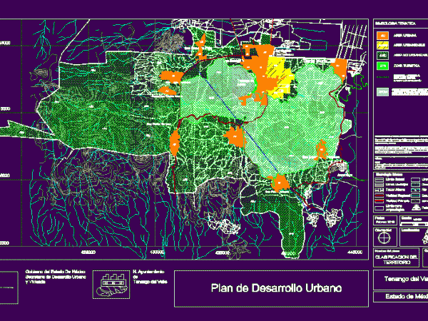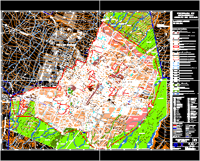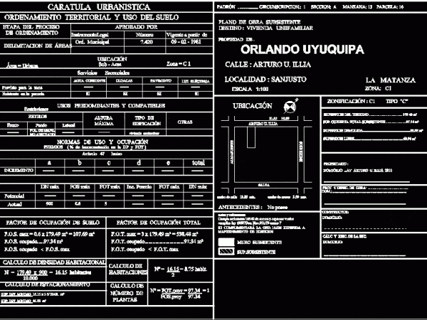
Fusagasuga Zoning Use Of Rural Territory DWG Block for AutoCAD
Zoning – Use of riral land – Map of territorial classification Drawing labels, details, and other text information extracted from the CAD file (Translated from Portuguese): rio los paco, river…


