Plano City Ilo DWG Block for AutoCAD
basic Plano Ilo City, main roads and districts. Drawing labels, details, and other text information extracted from the CAD file (Translated from Spanish): AC. battle of arica, customs, pj. chiribaya,…

basic Plano Ilo City, main roads and districts. Drawing labels, details, and other text information extracted from the CAD file (Translated from Spanish): AC. battle of arica, customs, pj. chiribaya,…

Topographic map of the city of Cusco – EPRU – historic city center – districts in the province of Cusco city of the Incas … Drawing labels, details, and other…

The map of the region of Junin is in detail and with a picture of festivities according to the dates also can see the towns districts and provinces with their…

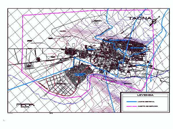
District Delimitation of the city of Tacna; the name of the streets; and correct expression of the plane; topographical curves whole region .; all correctly labeled Drawing labels, details, and…

Analisis by urban systems. Imaging system (nodes, paths, landmarks, edges and districts) Movement system (main and secondary roads) System activities (health, housing trade, industry, etc) System open spaces Drawing labels,…
