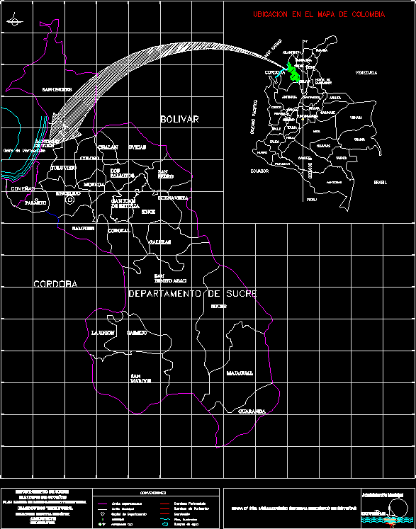
location planes determine the characteristics of a project with relation to its environment.
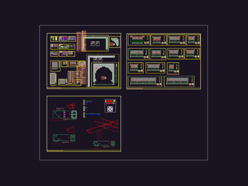
Drawing labels, details, and other text information extracted from the CAD file (Translated from Spanish):
Ecuador, Caribbean Sea, Guajira, Atlantico, Cordoba, Antioquia, Choco, Bolivar, Sucre, Magdalena, Cesar, North of Santander, Arauca, Vichada, Casanare, Boyaca, Cundinamarca, Meta, Guaviare, Guainia, Vaupes, Amazonas, Caqueta, putumayo, nariño, huila, cauca, valley, quindio, risaralda, caldas, tolima, venezuela, peru, brazil, pacific ocean, location on the map of colombia, santiago, de tolu, covenas, municipal administration, chalan, colossus, san, pedro, buenavista, sincelejo, palmetto, morroa, los palmitos, sampues, corozal, benito abad, caimito, majagual, guaranda, gulf of morrosquillo, conventions, departmental capital, departmental limit, unpaved road, paved road, municipality, airport c, d, carreteable, coveñas, galleys, department of sucre, municipal limit, bodies of water, rivers, streams, municipality of coveñas, basic plan of territorial ordering, eduardo espitia benítez, architect, consultant, territorial diagnosis, frames, the union , without ce, san juan, betulia, sheep, toluviejo, san onofre