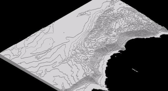
3D topographic model of the Patache region in Northern Chile. This DWG file contains 3D contour lines and terrain data representing the coastal geography where steep slopes meet the sea. The model provides a digital representation of the local landforms for use in site analysis, geographic mapping, and civil engineering projects.
The drawing shows the specific elevations and shoreline characteristics of this northern coastal area. Patache topografía, Norte de Chile.