Cadastro Arequipa – Peru DWG Block for AutoCAD
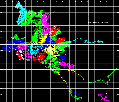
Cadastro – Arequipa – Peru Scale 1:50 Drawing labels, details, and other text information extracted from the CAD file (Translated from Spanish): tingo, urb. traditional, cheerful view, p.j., of July,…

Cadastro – Arequipa – Peru Scale 1:50 Drawing labels, details, and other text information extracted from the CAD file (Translated from Spanish): tingo, urb. traditional, cheerful view, p.j., of July,…

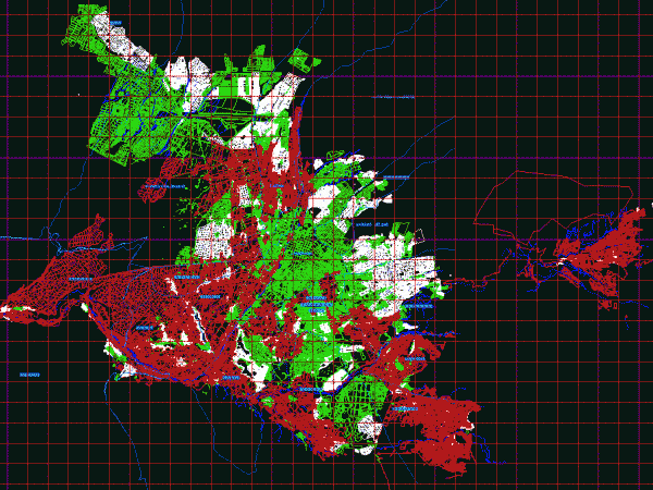
Fencing and cadastre of Arequipa Drawing labels, details, and other text information extracted from the CAD file (Translated from Spanish): tingo, urb. traditional, cheerful view, p.j., of July, p.j. roads,…

Street’s names, urbanizations and districts detailed – Arequipa Drawing labels, details, and other text information extracted from the CAD file (Translated from Spanish): perimeter street, street arenales, street jose carlos…

Basemap department of Arequipa – Detail Miraflores District Drawing labels, details, and other text information extracted from the CAD file (Translated from Spanish): base arequipa, office of extended jurisdiction arequipa,…

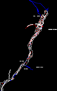
Digitized base of Chala sector with utm coordinates and cadastral code Drawing labels, details, and other text information extracted from the CAD file (Translated from Spanish): road tocota, sulcacha, carmona,…
