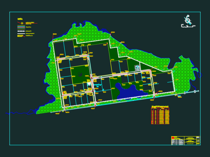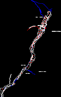
Digitized base of Chala sector with utm coordinates and cadastral code
Drawing labels, details, and other text information extracted from the CAD file (Translated from Spanish):
road tocota, sulcacha, carmona, agochiuche, mining, plant, arequipa, chile district, huanu huanu district, district of pullo, chajuye, highway, mining camp, district of, huanu huanu district, sports, countryside, district of, old, town, district of pullo, mining company caraveli s. to., mining plant, Pacific Ocean, old, punch, highway, old man, town of, the corralon, pampas, pampa salinas, Cerro Josefita, chile district, hill chorrillos, belen mining company, dead Indian hill, village of chala, Panamerican’s highway, pumping plant, sedapal, rattlesnake, village of tocota, rio tocota, broken toothed, broken huanu huanu, mascuri, ravine, josefita broken, rattlesnake, Pacific Ocean