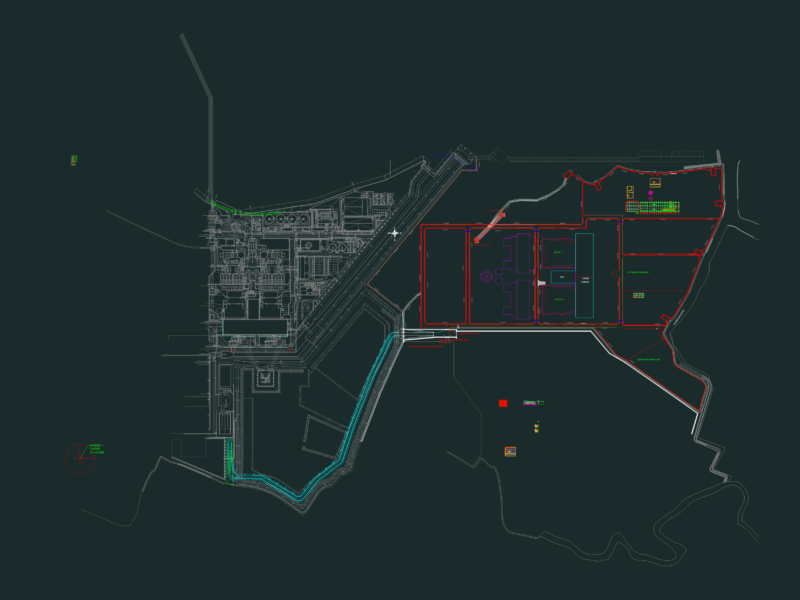
Plano topografico La Vega – Colombias
Drawing labels, details, and other text information extracted from the CAD file (Translated from Spanish):
rural area, island, neighborhood la, a nocaima, recreation, isabel, santa, centenary, neighborhood, medellin highway, quebrada reyes, public works, camp, slaughterhouse, park, suburban area, urban, san antonio, hospital, icbf, a sasaima, monument, hotel, gualiva, rio ila, gaitan neighborhood, school, olaya herrera, concentration, madrigal, street, cemetery, market, plaza, d. m., the glory, villa del rio, large plain, condominium, villa claudia, de la vega, capri, the forest, the cural, the orange trees, the portal, d. a., palms, urbanization, san jorge, le parc, stadium, mpal, tercoroma, medellin highway, consolation, santa rosa, villa susana, parasols, a bogota, condominium reserve, urban expansion zone, consolidated suburban area , terminal, conventions, symbol, name, rivers and streams, roads, schools, cemetery, municipal stadium, market square, church, ceipa tree, main park, tabacal lagoon, parks, trade, housing, institutional