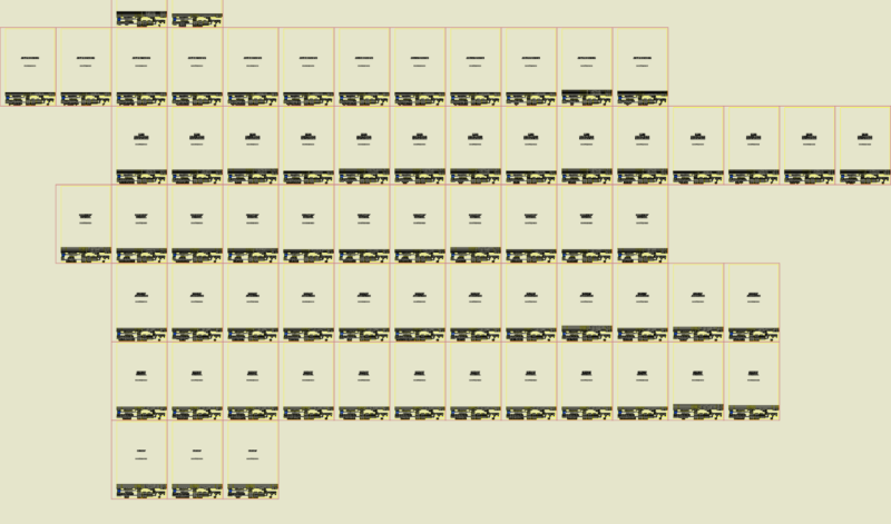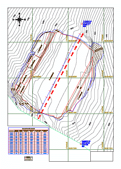
LONGITUDINAL PROFILE OF LAND X
Drawing labels, details, and other text information extracted from the CAD file (Translated from Spanish):
location, district, region, province, location, project :, date :, approved :, drawing :, plane :, scale :, design :, architecture, huari, ancash, san pedro chana, urban district of san pedro, rahuaychacra en The area, responsible: San Pedro de Chana, District Municipality, OECD, OECD, OCC, OCC, OAC, OCC, OCC, OCC, OCC , oc.i, oc.g, oc.j, oc.c, oc.n, oc.p, oc.o, no.b, no.c, no.a, no.e, no.f, area cutting :, filling area :, ctn: natural terrain elevation, ctp: platform terrain elevation., ac: cutting area., ar: filling area., legend, volume table, progressive, filling area , area of cut, volume of filling, volume of cut, volume acum. of fill, volume accum. cutting, cp: platform elevation: