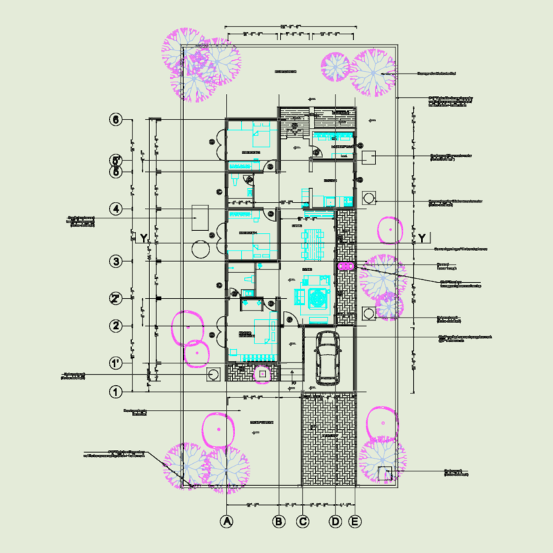
Topographical site plan for Ulee Lheu Sea Port in Banda Aceh. It’s full existing layout showing the main terminal building, parking areas for bikes and cars, the mosque, canteen, and more. I’ve included the coordinate grid with X and Y values, plus benchmark points like BM-1 and CP-1. The map is drawn at 1:3000 scale and everything is in metric.Covers the whole terminal zone incl. fuel tanks, water tower, & local roads. Gambar existing pelabuhan laut Ulee Lheu kota Banda Aceh.
Ulee Lheu Port Topographical Site Plan DWG