ADVERTISEMENT

ADVERTISEMENT
Belize Map DWG Block for AutoCAD
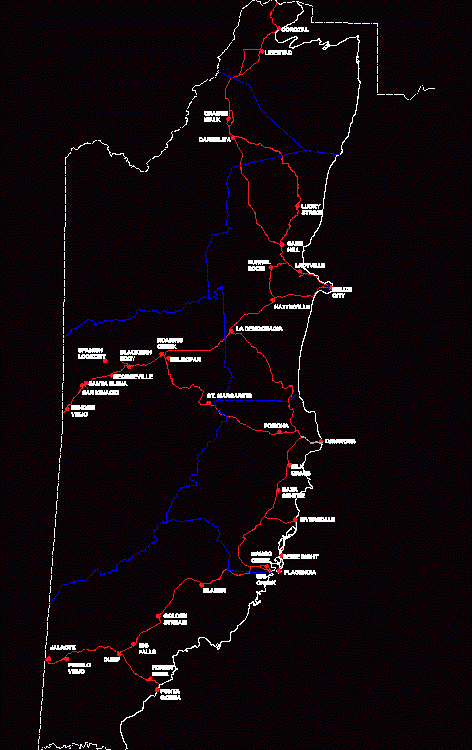
Map Belize district roads and towns named
Drawing labels, details, and other text information extracted from the CAD file:
punta gorda, placencia, mango creek, dangriga, san ignacio, santa elena, benque viejo, belmopan, la democracia, hattieville, belize city, orange walk, corozal, big creek, riversdale, burrel boom, ladyville, sand hill, st. margarets, silk grass, maya centre, bladen, golden stream, big falls, dump, forest home, georgeville, roaring creek, carmelita, lucky strike, blackman eddy, spanish lookout, pomona, seine bight, libertad, jalacte, pueblo viejo
Raw text data extracted from CAD file:
| Language | English |
| Drawing Type | Block |
| Category | Handbooks & Manuals |
| Additional Screenshots |
 |
| File Type | dwg |
| Materials | Other |
| Measurement Units | Metric |
| Footprint Area | |
| Building Features | |
| Tags | autocad, block, COUNTRY, district, DWG, map, roads, towns |
ADVERTISEMENT
