ADVERTISEMENT

ADVERTISEMENT
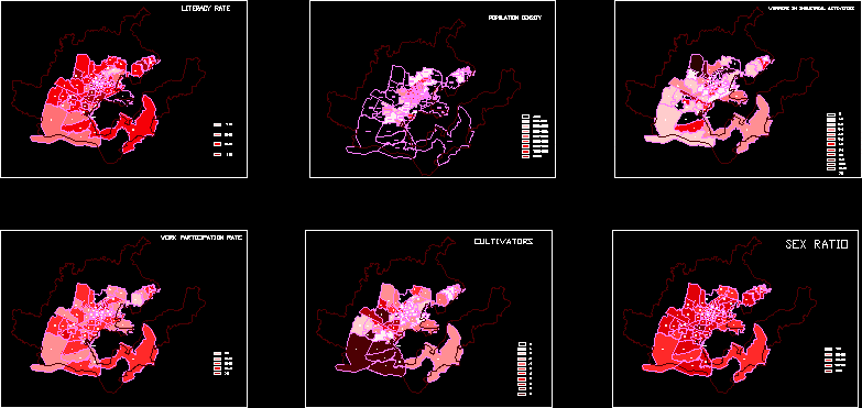
Demographic Maps DWG Block for AutoCAD
demographic maps
Drawing labels, details, and other text information extracted from the CAD file:
army area, literacy rate, population density, workers in industrial activities, work participation rate, cultivators, sex ratio
Raw text data extracted from CAD file:
| Language | English |
| Drawing Type | Block |
| Category | Handbooks & Manuals |
| Additional Screenshots |
 |
| File Type | dwg |
| Materials | Other |
| Measurement Units | Metric |
| Footprint Area | |
| Building Features | Deck / Patio |
| Tags | autocad, block, DWG, maps, topography |
ADVERTISEMENT
