City Plans DWG: Master Plans, Site & Cadastral
Our City Plans collection holds 4,400+ DWG files for work at the scale above the single building: master plans, site plans, cadastral and land-registry maps, urban layouts, and topographic surveys. These are the drawings that situate a project in its street, block, and parcel context. Read more about this category ▾

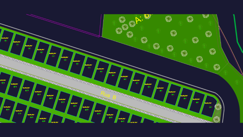
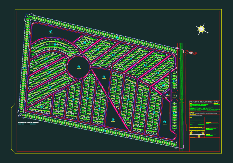

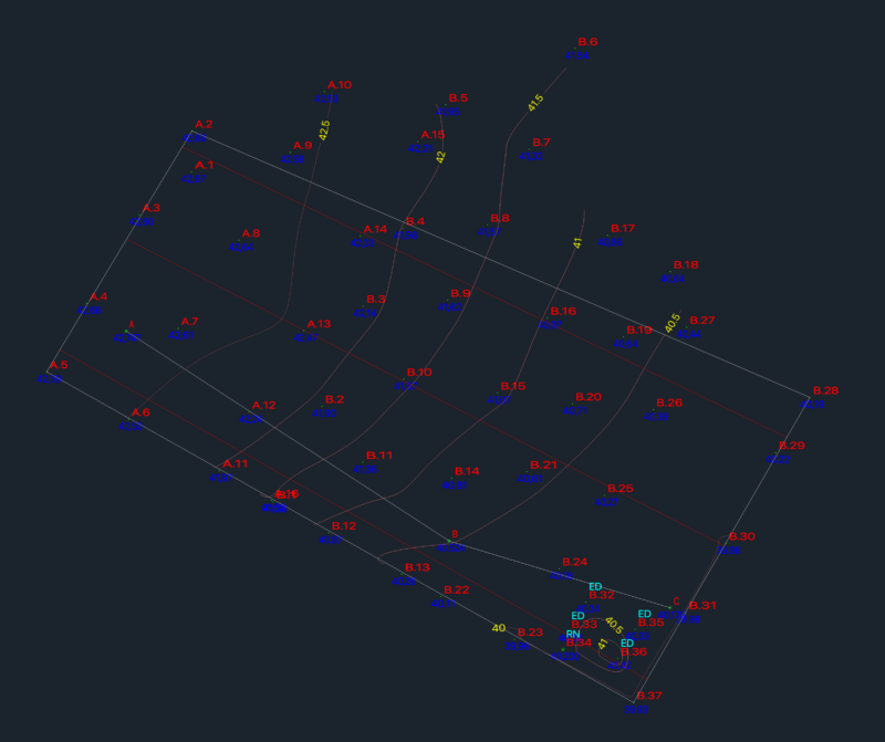
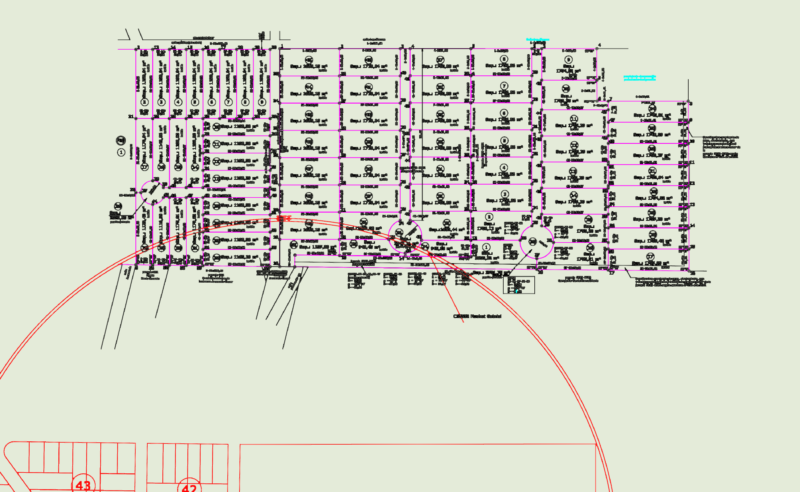
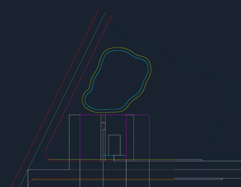
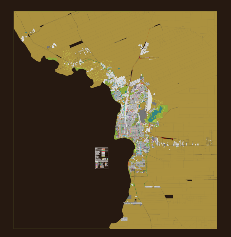
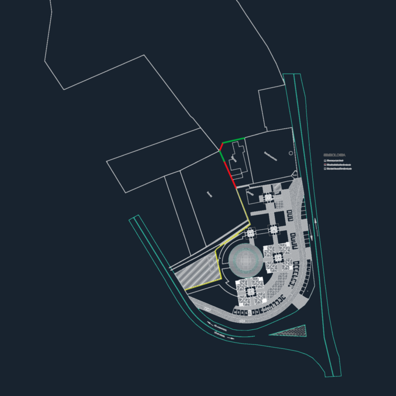
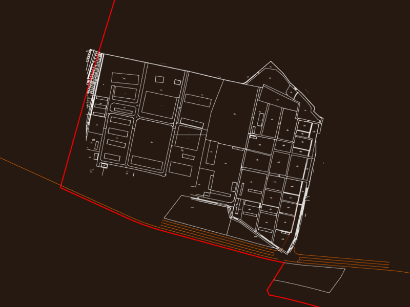
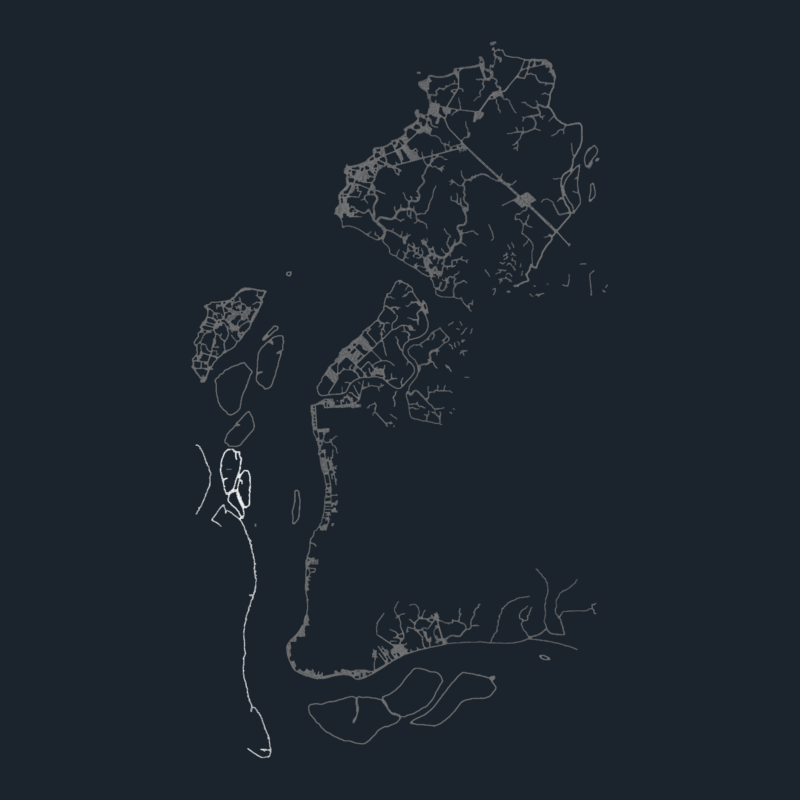
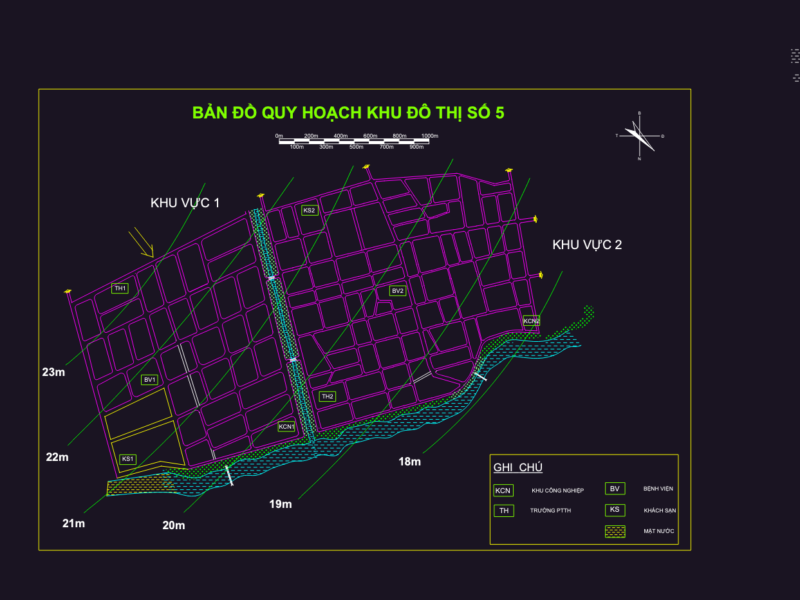

Coverage spans the planning workflow. Master plans cover housing schemes, township developments, and mixed-use districts with plot subdivision, road hierarchy, and open-space allocation. Site plans show a single parcel in context: setbacks, access, levels, and services. Cadastral and land-registry maps document neighborhood street grids, lot numbering, and ownership boundaries for whole towns and city sectors. Topographic surveys carry contour lines, spot levels, existing vegetation, and cross-sections for sloped or undeveloped land. Subdivision and zoning drawings show how raw land is cut into sellable, buildable plots.
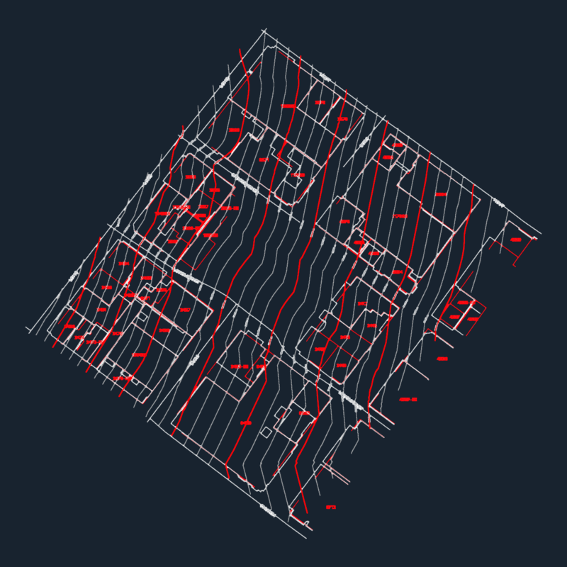
Most files are 2D plan-view DWG at city or parcel scale, drawn to survey coordinates with dimensioned boundaries, area schedules (square metres, hectares, marla/kanal where regional), and street naming. Many pair the layout with infrastructure overlays: roads, drainage, and utility routing across the site. AutoCAD 2010 or later opens every file.
City Plans is part of our broader Public Facilities catalog. Related collections: Roads, Bridges and Dams for the transport infrastructure within a plan, Water, Sewage & Electricity Infrastructure for utility networks, Parks & Landscaping for open-space design, and Transportation & Parking for circulation and parking layouts.