Water, Sewage & Electrical Infrastructure DWG
Our Water, Sewage & Electricity Infrastructure collection holds 3,200+ DWG files for the buried and bulk networks that service a town: water supply, drainage and sewage, and electrical distribution. These are the public-works drawings that sit under the streets and behind the meter. Read more about this category ▾
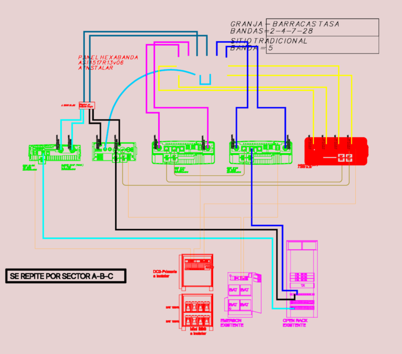


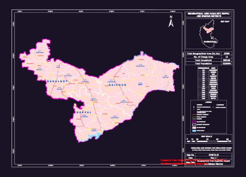
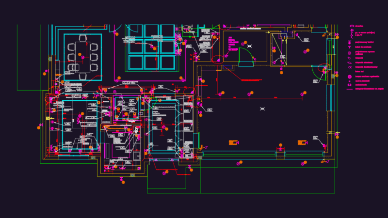

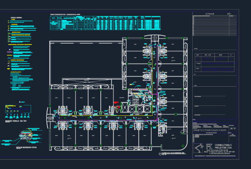

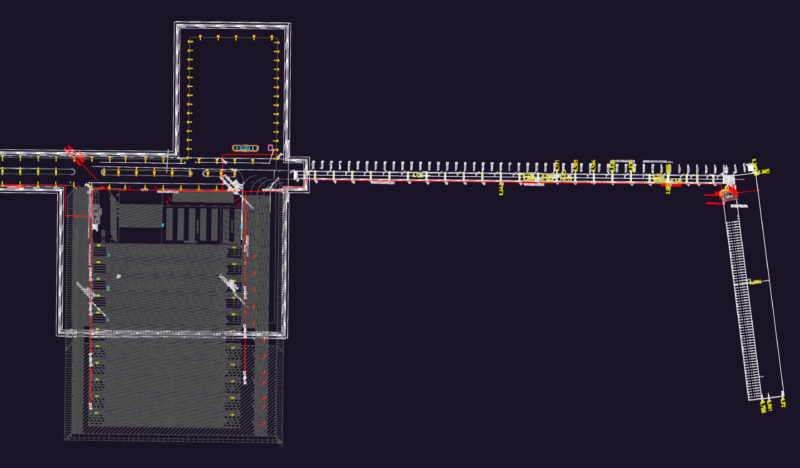

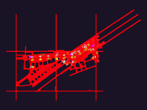
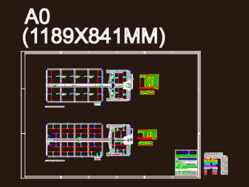
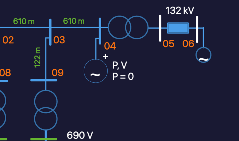

Water content covers supply networks, pumping stations, water-treatment plants, elevated and ground water tanks, well screens, and HDPE and DI pipe construction layouts. Sewage and drainage content covers sewer networks, manholes and inspection chambers, septic tanks and soak pits, storm drainage, and treatment-plant layouts. Electrical infrastructure covers substations (up to 230 kV and beyond), transformer and switchgear layouts, single-line diagrams, regional grid and distribution networks, underground derivation boxes, and equipment foundation plans. Many drawings carry profiles, sections, and bill-of-quantities annotations alongside the plan.
Most files are 2D plan, section, and single-line DWG drawn to survey or schematic scale with dimensioned routing and equipment schedules. These are working municipal and utility drawings, not symbolic blocks. AutoCAD 2010 or later opens every file.
Water, Sewage & Electricity Infrastructure is part of our broader Public Facilities catalog. Related collections: City Plans for the layouts these networks serve, Roads, Bridges and Dams for civil works, Mechanical, Electrical & Plumbing for in-building services, and Construction Details & Systems for trench and chamber details.