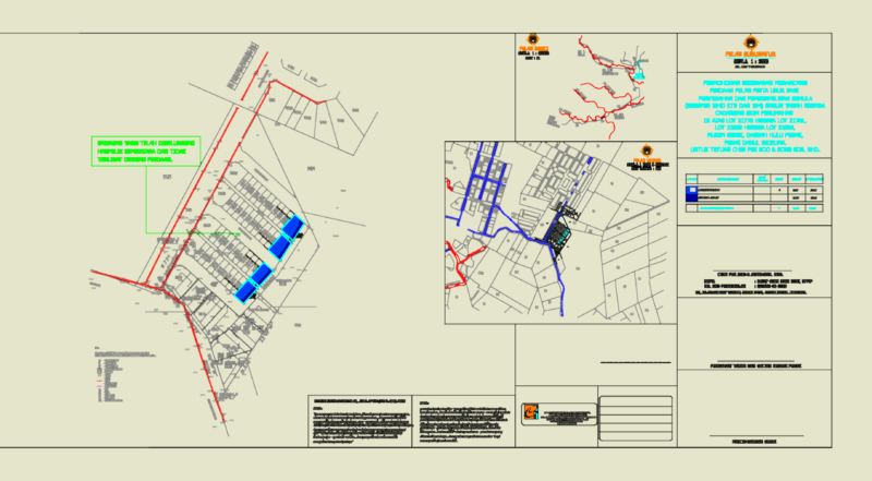
Public transport network map for Cusco, Peru, detailing the urban transit system across the metropolitan region. The drawing includes established routes for buses (ómnibus), rural vans (camionetas rurales), and shared taxis (colectivos). Geographic coverage extends through the districts of San Jerónimo, San Sebastián, Santiago, Wanchaq, Poroy, and Saylla.
The CAD file features technical legends and data tables identifying transport companies such as Pachacuteq, Satelite, and Imperial, along with vehicle classes and unit counts. It marks provincial and district boundaries, initial and final stops (paraderos), and significant urban landmarks including the Industrial Park and Andean University. This plan is used for urban infrastructure studies, transit network analysis, and city planning. Rutas de transporte urbano de la ciudad del Cusco.