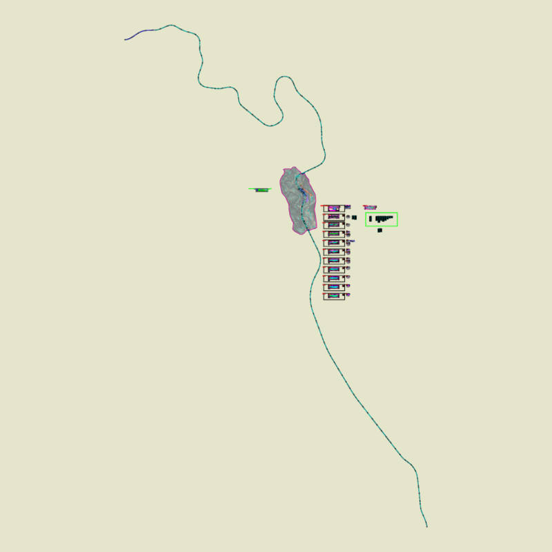
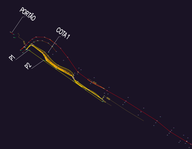
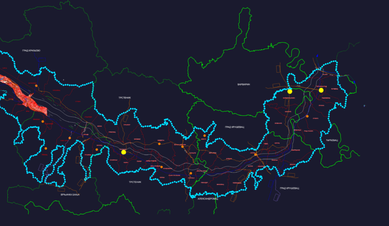
Cut and fill land in steep
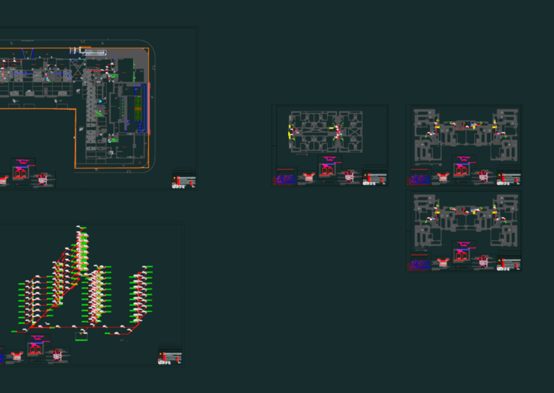
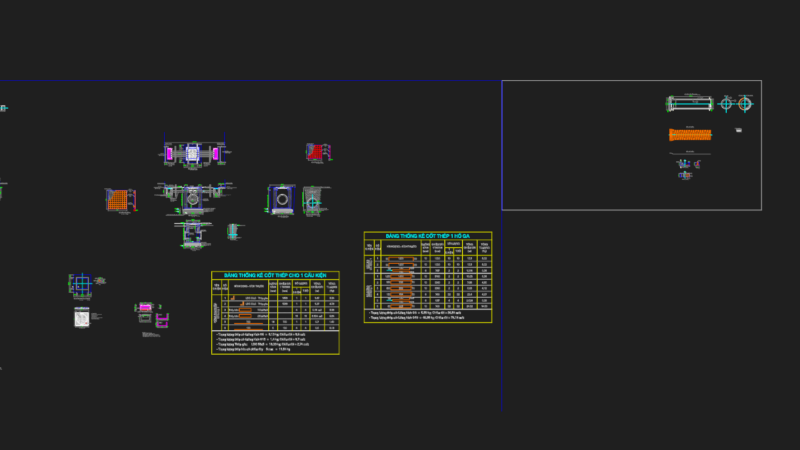
Drawing labels, details, and other text information extracted from the CAD file (Translated from Spanish):
pto_paso, description, project:, location:, revised and approved:, design:, drawing:, drawing:, system:, scale:, date:, code:, sheet :, foncodes, plane :, national compensation fund and social development, sheet no, designer :, vb :, review and approve :, drawing cad :, region :, system :, project :, dist.:, date :, scale :, prov.:, locality :, magnetic, berma , ancash, dpto. :, Quillo, district:, Prov. :, yungay, topography :, date :, indicated, cad :, location:, level of :, scale :, alvemi, designer :, plane :, project :, district municipality of Quillo, revised and approved :, responsible :, general plant, ocrucancha huanquin i stage ,, district of quillo-yungay-ancash, sections type