Roads, Bridges & Dams DWG Plans
Our Roads, Bridges and Dams collection holds 2,300+ DWG files for civil and transport infrastructure: highways and urban roads, bridges and interchanges, retaining structures, and water-control works. These are the engineering drawings that move people and hold back earth and water. Read more about this category ▾
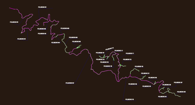
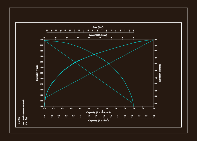
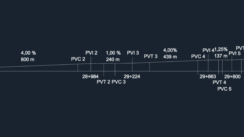
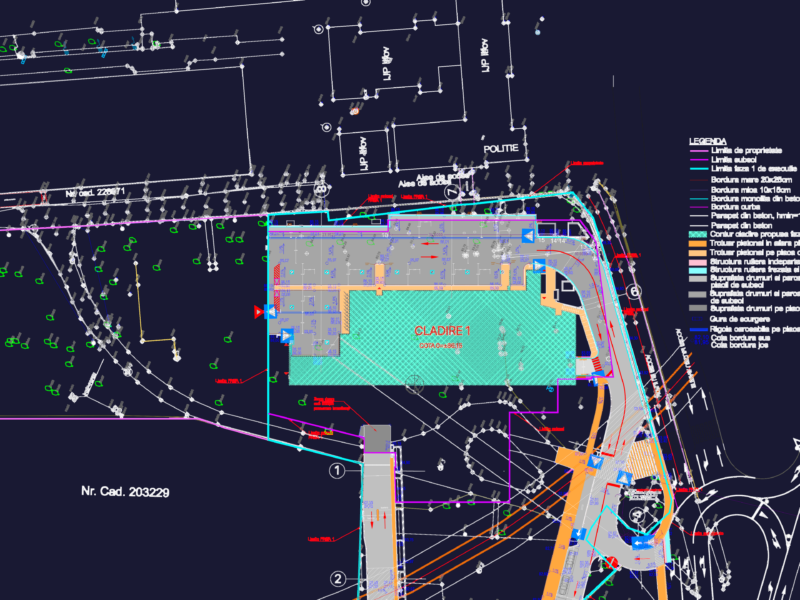
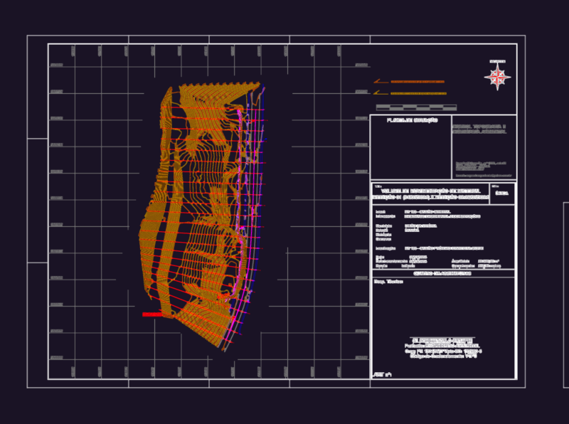

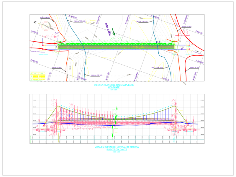
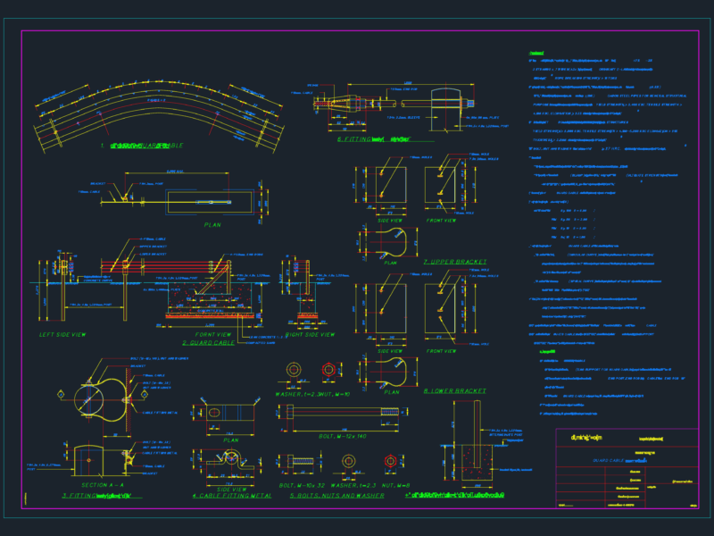

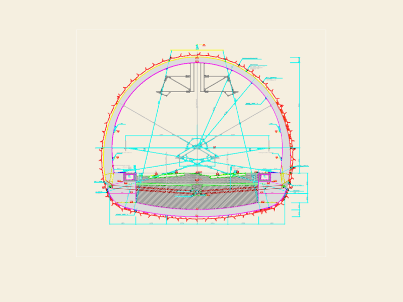
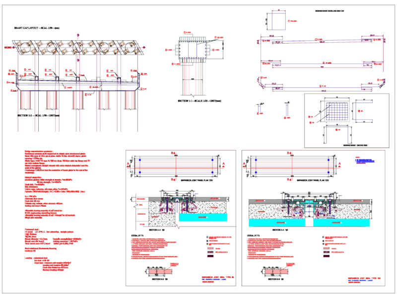

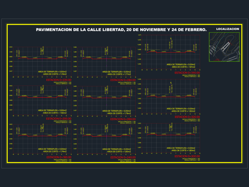
Road content covers alignment and profile drawings, typical cross-sections and road-reserve widths, interchanges and junctions (trumpet, cloverleaf, roundabout), street-scape sections, RCC and flexible pavement details, kerbs, and road-marking and striping plans. Bridge content covers beam, slab, and box-girder bridges, trestles, footbridges, and pipe bridges with plans, elevations, and structural sections. Earth-retaining and water-control content covers reinforced-concrete retaining walls, gravity dams, culverts and box drains, and geotechnical settlement and cross-section details. Many drawings carry chainage, levels, and bill-of-quantities annotations for tender.
Most files are 2D plan, profile, and section DWG drawn to survey scale with dimensioned geometry and reinforcement callouts. These are working civil-engineering drawings. AutoCAD 2010 or later opens every file.
Roads, Bridges and Dams is part of our broader Public Facilities catalog. Related collections: City Plans for the road network in context, Water, Sewage & Electricity Infrastructure for drainage and utilities, Transportation & Parking for transit and parking, and Construction Details & Systems for reinforcement and foundation details.