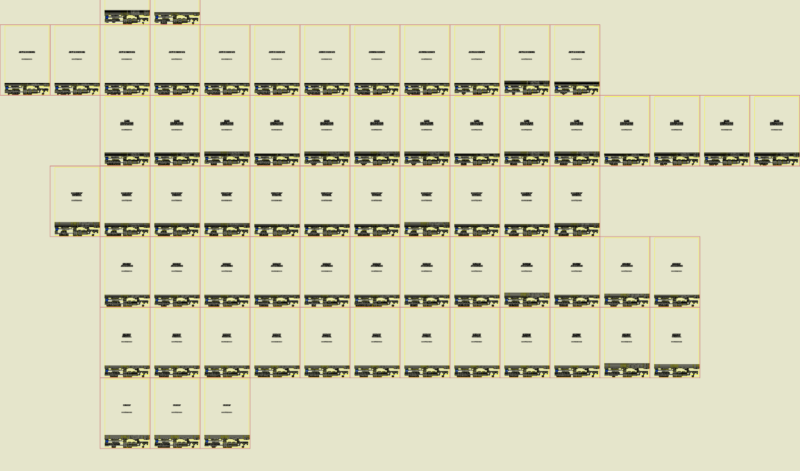
Guatemala dam; on map 1.50000
Drawing labels, details, and other text information extracted from the CAD file (Translated from Spanish):
the meetings, santa ana farm, dam, dam site, san juan las vegas, maximun normal water level, black river, guayanep, chitomax, hill el jocote, green hill, qebrada papur, hill the tunal, lagoon chisajcap, hill chojope, papur , xuaxán, take the lagoon, hill good view, chicruz, squeaks, town, pasulup, old, summit san juan, old town, river, water, cold, cold water, hill ton juan, cerinal cauinal, hills nimajuelo, gully nimajuelo, Broken lemon, straw, cemetery, river Xeul, Cerro Xeulito, mango, Xeulito, riachuelo, chimiagua, quebrada, avocado, mountain Chimiagua, San Isidro, Cerro Chibaquito, Chibaquito, the jet, white, Cerro Chimiaguita, El Naranjo , hill xoquián, pachel, bad step, summit, santa, apolonia, hill the estorage, hill comotorro, black land plan, copper mine, guaynep, passulup, or black, chixoy, river, cuyucabaj, canchún, old bridge, the zapote, carchela, summit las animas, camalmapa, chitucán, camalmapa, honda, patzíquin, loma pa wedges, chicruz, xeocop, hill xocoyán, the camp, summit the camp, splash, chibalom, navajuela, round hill, hill lobacun