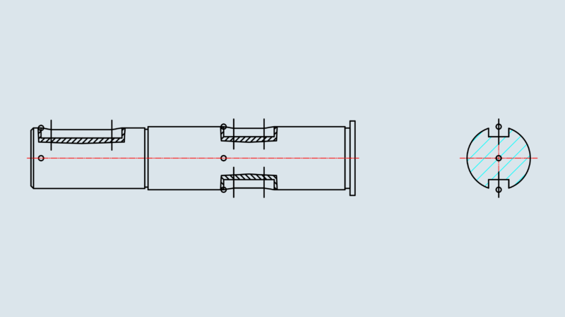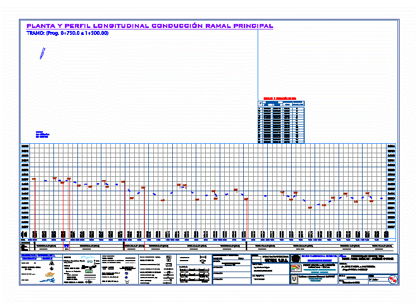
MAIN LINE
Drawing labels, details, and other text information extracted from the CAD file (Translated from Spanish):
chile, dep. tarija, argentina, t. cold, dep. oruro, p o t o s í, dep. chuquisaca, dep. cochabamba, plant and longitudinal profile driving main branch, terrain, design, slope, prog., elevation, type, hard ground, topographical symbology, description, symbol, bench mark, main topographical station, rivers, lakes, bm, asphalt road, road gravel, dirt road, towns, communities and ranches, church, school, roads:, projected pipe to be built, future expansion pipe, existing pipe, diameter length, ld-mat, hydraulic calculation, pressure breaking chamber, crp, graphic scale :, quebradas, parcelas, asequia, irrigation canal, projected design :, code :, indicated, scale :, content :, project :, date :, national investment fund, performer :, designer :, signatures, revision :, approval :, lev. topographical :, – plant and longitudinal profile, multidisciplinary consultancy, ultra s.r.l., ing. pedro jancko thin, productive and social, municipal autonomous government of potosí, department of potosí, province tomas frías, – capital section -, preinversion estudio tesa, ing. frame a. Gómez mendívil, top. wilber jesus, monitoring and control:, sewers, sand trap, land with crops, national irrigation program with focus, basin – pronarec, ing. zulema rodriguez miranda, supervision – fps, detail and location of bms, coordinates, elevation, east, north, msnm, ptos. ref. and bms, scales :, c. distribution