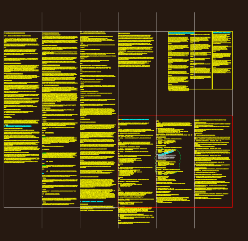
Comprehensive geotechnical site investigation plan showing nine borehole/piezometer locations (S1/Pz through S9/Pz) across a large development parcel. This survey utilizes PT-TM06/ETRS89 coordinate system with Cascais tide gauge as the altimetric reference. Topographic elements include elevation points ranging from approximately 33.64m to 52.40m, existing infrastructure (silo, gas installations), drainage features, utility boxes (electrical, telecommunications, water, sewage), and dense vegetation areas. The property boundary encompasses approximately 23,038 m² with distinct challenges noted in areas of dense vegetation where precise boundaries couldn’t be established. Site features include existing retaining walls, stormwater drainage infrastructure, and various utility connections. The drawing includes a complete legend identifying all topographic symbols and notations for proper interpretation of site conditions.
Geotechnical Survey Plan with Borehole Locations and Topography