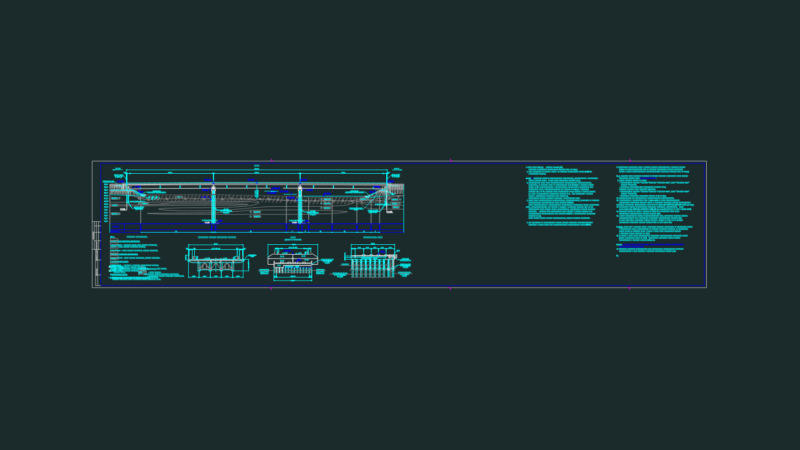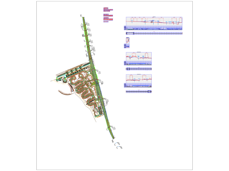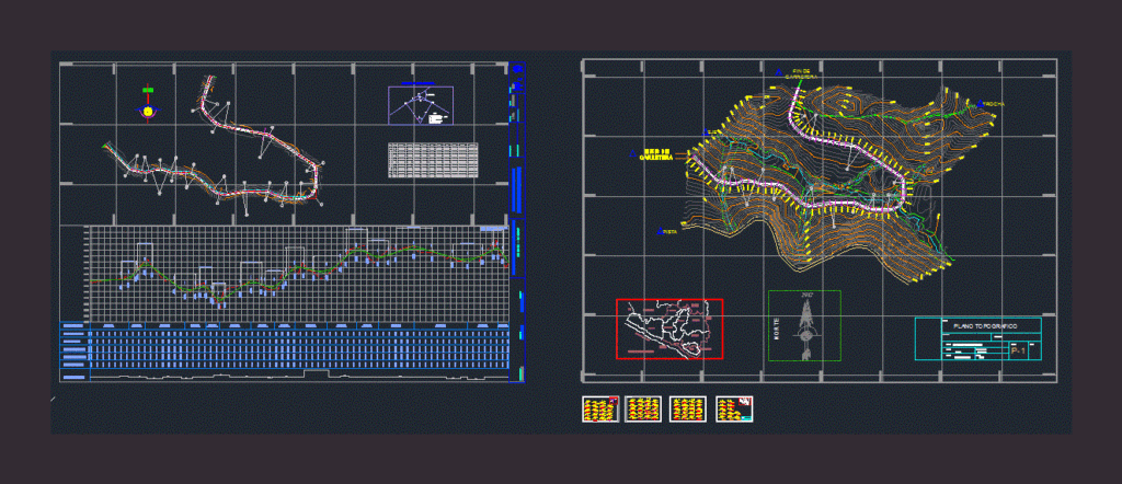
Highway road Project- Topography
Drawing labels, details, and other text information extracted from the CAD file (Translated from Spanish):
n. m., civil, sent., deflex., tang., radio, lc, ext., pc, pi, pt, east, north, alignment, project management, arequipa, department :, province :, paucarpata, districts :, plant and longitudinal profile, digitization :, approved by :, sub management of studies, revised by :, date :, scale :, pp -, code :, horizontal curve elements, where :, start, end, mileage, ground level, ground level, alt. cut, alt. filling, typical section, condesuyos, pacific ocean, ayacucho, cusco, puno, ica, islay, camana, caraveli, moquegua, caylloma, castilla, union, ing mario lajo, professor:, course:, plane:, topography for roads, cross sections, scale:, date:, agc-cad, key:, rising:, drawn:, note:, plane :, ccoa vizcarra cristian machaca mamani victor, location plane, gauge, track, axis, topographical plane