Plano pear topographical record initial technical educational institution
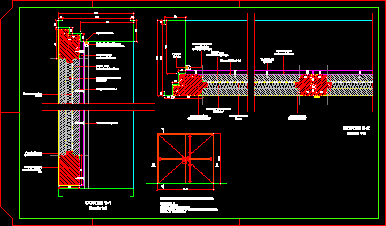
Drawing labels, details, and other text information extracted from the CAD file (Translated from Galician):
slab, calicata, house, corner, road, post, regional office of, pre-investment studies, north, elevation, profile a-b-c-d i. e. initial san isidro, profile d-e i. e. initial san isidro, profile e-f i. e. initial san isidro, profile f-a i. e. initial san isidro, side, east, vertices box, replanting bms table, ground area, calicata table, level, location, sports slab corner, perimetric picture – areas, total area, perimeter, January – March, altitude, prom temperature annual rainfall, rainfall, climatology, topographic station chart, side table, a-b, length, b-c, c-d, d-e, rainwater flow, network. electric, does not have rainwater drainage, description: aerial power grid, sides, utm coordinates, vertices, internal angles, topographical legend, lighting pole, polygonal perimetric, bms., calicatas, stations, demolished areas, built area, free area, no bm, no. est., septic tank, area of land, adjoining panel, cm., owner, long., owned by third parties, ef, fa, with proprietary San Isidro community, Close to: from third parties, close: san isidro community, educational institution, primary school, sports slate, teaching housing, health center, san isidro, local communal, drinking water network, electric power network, carretera añancusi, topographer: huayra huanhuayo , saúl, topographical map, technical equipment:, project:, plane:, lamina:, location:, date:, scale: