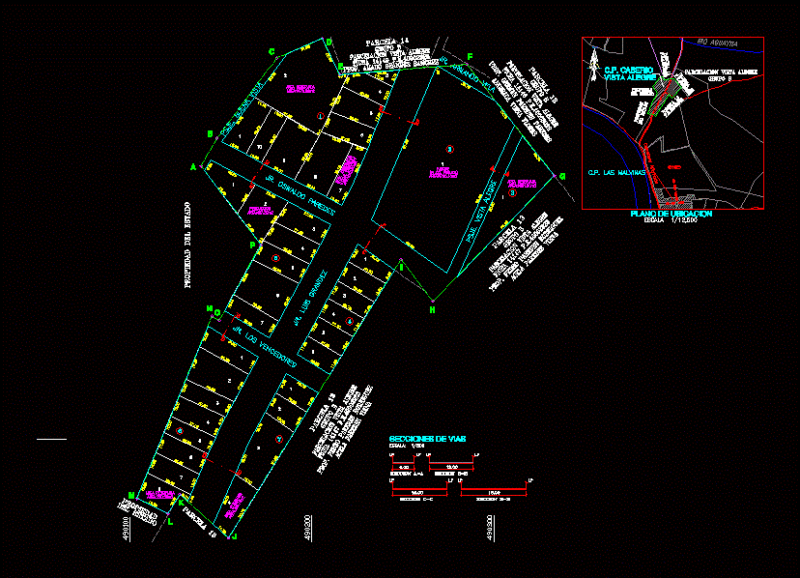
Detailed 2D urban master plan of an 8-hectare land parcel organized into a structured block grid. The layout identifies specific zones for Unit B and surrounding residential or commercial blocks. A central pedestrian plaza features a circular fountain and landscaped corridors connecting the various sectors.
The CAD file contains essential civil and urban infrastructure data, including a road network linked to the Coastal Road (Benghazi-Tripoli route), the Great Man-Made River line, and a railway reservation. It includes topographical survey points, coordinate markings, and dimensions for lot widths. Al-Mukhattat al-Aam al-Tafsili.