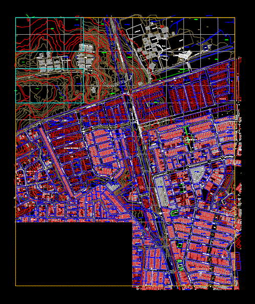
Map Topografico Samanes; Guayaquil DWG Block for AutoCAD
Contours – plots
Drawing labels, details, and other text information extracted from the CAD file (Translated from Spanish):
cist, est, sentry box, rainwater channel, citadel, the hills, command village, second avenue, water tanks, cistern, avenue francisco de orellana, structure, thicket, tropical grass, acm, water, mesh, cement platform, showers, classroom, parking, sewage channel, wire, channel, school millito tnte hugo ortiz, temple, pool, mars field, dressing rooms, rainwater runoff channel, acm, third street, second street, first street, ec , home care, naughty hands to grow, home of the suffering man, ditch, court, street fourth, serli north, cooperative adesdac, cooperative will of god, church of god, pentecostal, sparrows, santa cruz, aqueduct, alborada, mobil , educational center, community milenium, street b, street c, samanes stage ii, pacifictel, samanes ii, satnet, american link, cartoons, church of jesus christ, park, antenna, street a, world luminaries, playground, camelia street, Hellenic street, educational unit go harvard school, street magnolia, street gardenia, street e, street d, citadel alborada stage xiv, garden esc little house candy
Raw text data extracted from CAD file:
| Language | Spanish |
| Drawing Type | Block |
| Category | Handbooks & Manuals |
| Additional Screenshots | |
| File Type | dwg |
| Materials | Other |
| Measurement Units | Metric |
| Footprint Area | |
| Building Features | Garden / Park, Pool, Parking |
| Tags | autocad, block, contours, DWG, guayaquil, map, plots |
