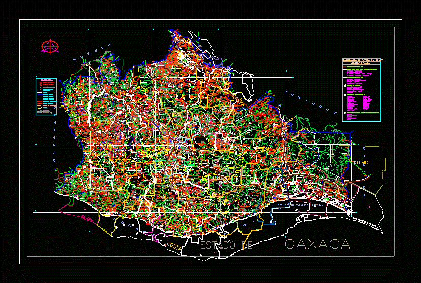
Detailed AutoCAD map of the state of Oaxaca, Mexico, illustrating the comprehensive highway and road network across its diverse regions. The drawing includes regional boundaries for areas such as the Costa, Istmo, and Mixteca, providing a spatial overview of the state’s infrastructure.
The file features a structured layout with a coordinate grid, north arrow, and a symbology legend (simbologu00eda) that categorizes different types of roads and highways. This CAD map is suitable for regional planning, infrastructure assessment, and logistics mapping within the state of Oaxaca. Plano de carreteras del estado de Oaxaca.