Valledupar DWG Block for AutoCAD
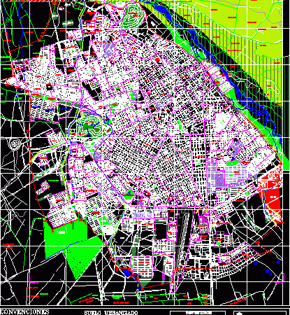
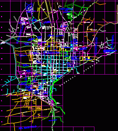
Map of Valledupar – Location – Large divisions of Valledupar Cesar Drawing labels, details, and other text information extracted from the CAD file (Translated from Spanish): conventions, contains, flat, scale:,…

Map of Valledupar – Location – Large divisions of Valledupar Cesar Drawing labels, details, and other text information extracted from the CAD file (Translated from Spanish): conventions, contains, flat, scale:,…

Plane district Tomas Lander at at Mirando State Venezuela – Sectors, Pluvial channels and main routes Drawing labels, details, and other text information extracted from the CAD file (Translated from…

Plan of Parana City – Entre Rios – Argentina Drawing labels, details, and other text information extracted from the CAD file (Translated from Spanish): municipality of parana, aerial brigade, military…

Plan Zacatlan City with street names and neighborhoods Drawing labels, details, and other text information extracted from the CAD file (Translated from Spanish): axis ote., pte., axis., south axis, pte.,…

Corregimental header – Coconuco – Colombia Drawing labels, details, and other text information extracted from the CAD file (Translated from Spanish): iii, natural of purace, National Park, purest, padilla, Miranda,…
