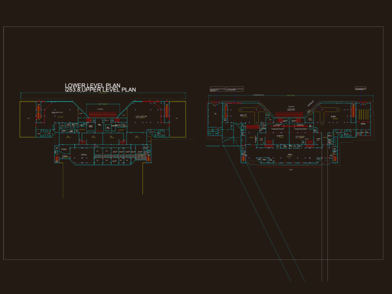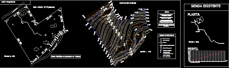
Plane topographical survey with curves of levels , existing facts, and other dates from the lot
Drawing labels, details, and other text information extracted from the CAD file (Translated from Spanish):
current wiring line, paired sectors, existing stalls, existing road, main curves, secondary curves, topographical signs, notes, -no area of lot is limited due to lack of reference points, lot mariano dall’aqua -moquehue, temporary housing, cabins, moquehue lot, existing araucarias, septic chambers, existing path, note: measurements expressed in meters, level curves, existing path, profile, floor, dwelling, balcony, staircase, path, araucarias