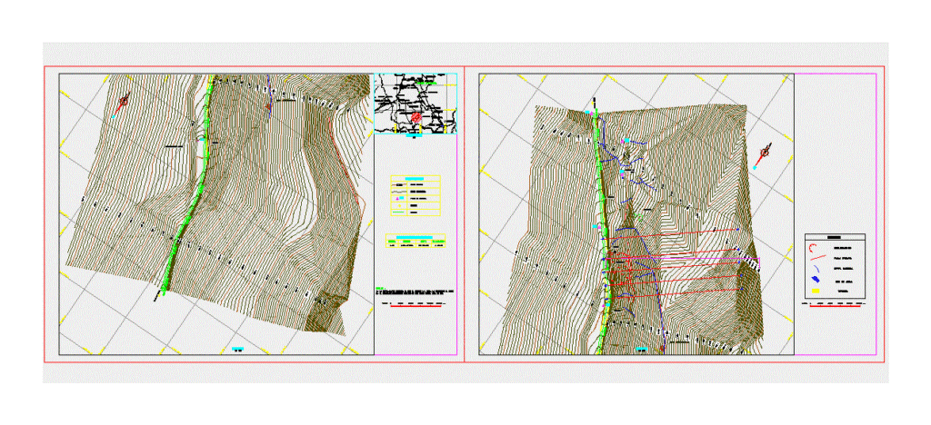
Plano geodynamic
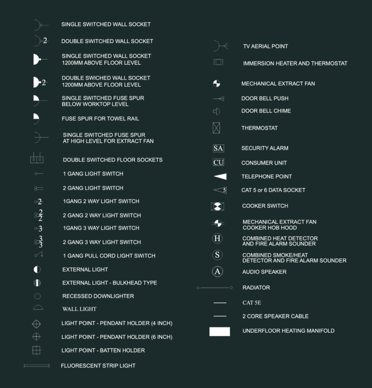
Drawing labels, details, and other text information extracted from the CAD file (Translated from Spanish):
structure, cut, scale, geomatics technology, location, master curve, secondary curve, symbology, control point, legend, normal fault, natural channel, slip, waterhole, direction, access, plant, station table, point, north, east, elevation, notes:, yanamaray, chapel court, pampa court, machac, roll, conin, chavin de huantar, chuyo, machcas, san luis, hda. broken, san marcos, laguna antamina, minas antamina, ayash, huancayoc, laguna shaguanga, collachico, llaullina, huanquin, hda. mashra, quirucancha, campan, yacrac rumi, huansala, ushno huain, pichcaragra, santon mine, yacupampa, calannioc, andachupa, huallanca, the union, tingo bridge, yurayaco, llayre, chuhuayta, water evacuation, gutter, towards antamina, collapse, housing, towards huaraz, water, source of, housing, epcm consulting sac, plane:, project :, geology, date:, geodynamic plane, c.brazowich, ing. p.portella, topography:, scale: topographical survey service, road slopes conococha – antamina, high voltage tower, pits