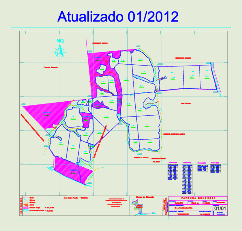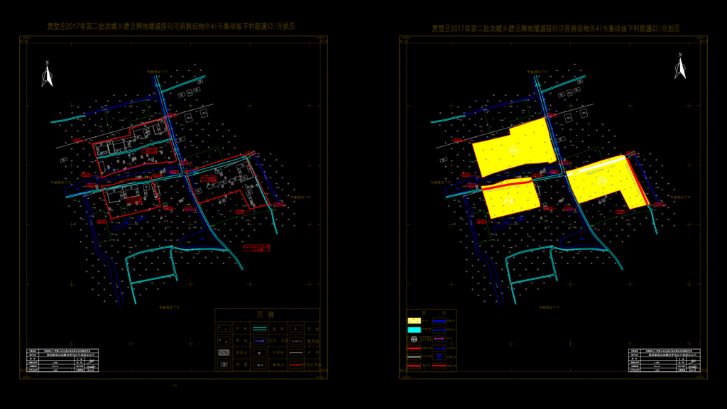
Comprehensive land use conversion plan for the Qiandudou area of Gaoxia Village in Weiji Town, Lingbi County. This drawing consists of two primary sections: the current status map (left) and the proposed redevelopment plan (right). The project covers approximately 31.995 mu (21,330 square meters) divided into three parcels (S1=13.6324 mu, S2=11.2856 mu, S3=7.0769 mu).
The current status map details existing structures including brick houses, toilets, livestock areas, and ponds, with residential areas marked in red boundary lines. The redevelopment plan shows proposed agricultural reorganization with color-coded zones (yellow) representing farmland conversion, new irrigation systems, and field access roads.
Key Features:
– Scale: 1:1000
– Coordinate system clearly marked with specific points
– Water management elements including irrigation wells and drainage ditches
– Existing and planned road network
– Comprehensive legend with symbols for buildings, roads, ponds, and agricultural lands