Farm DWG: Agricultural Plans & Site Layouts
Our Farms collection holds agricultural DWG files for land at the working scale: farm master plans, field layouts, irrigation, and the rural facilities that support them. Read more about this category ▾

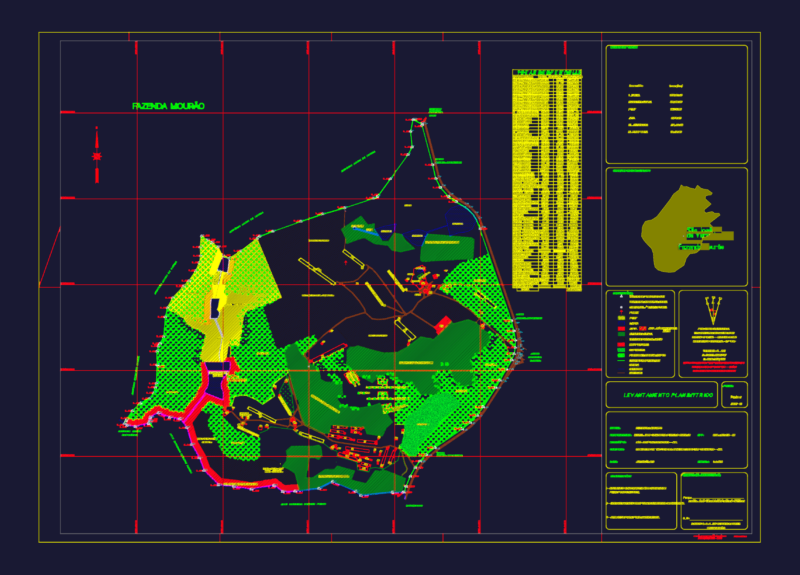
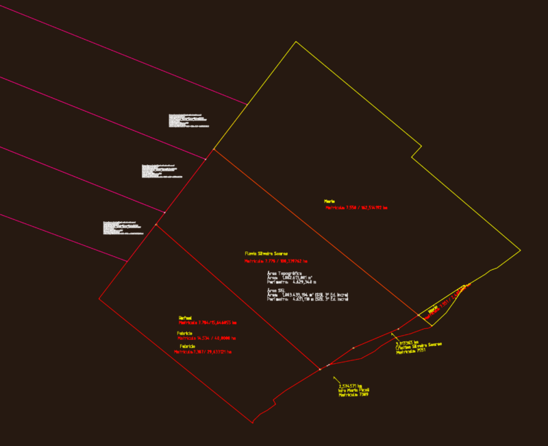
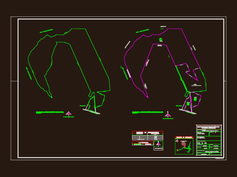


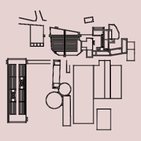
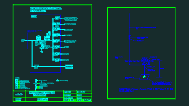
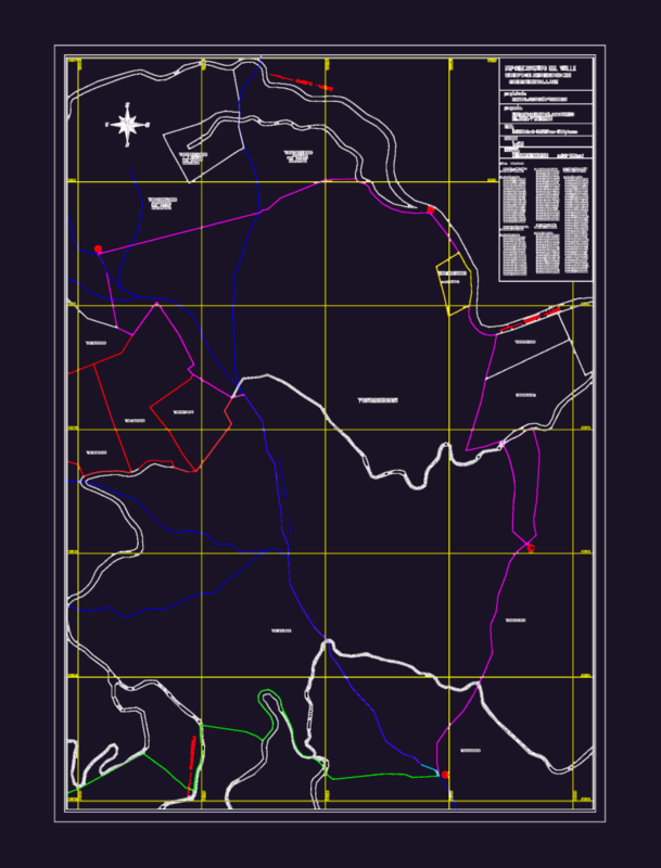
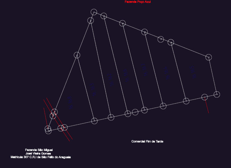

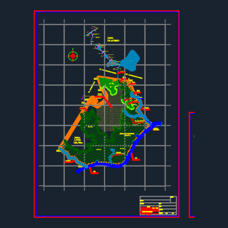

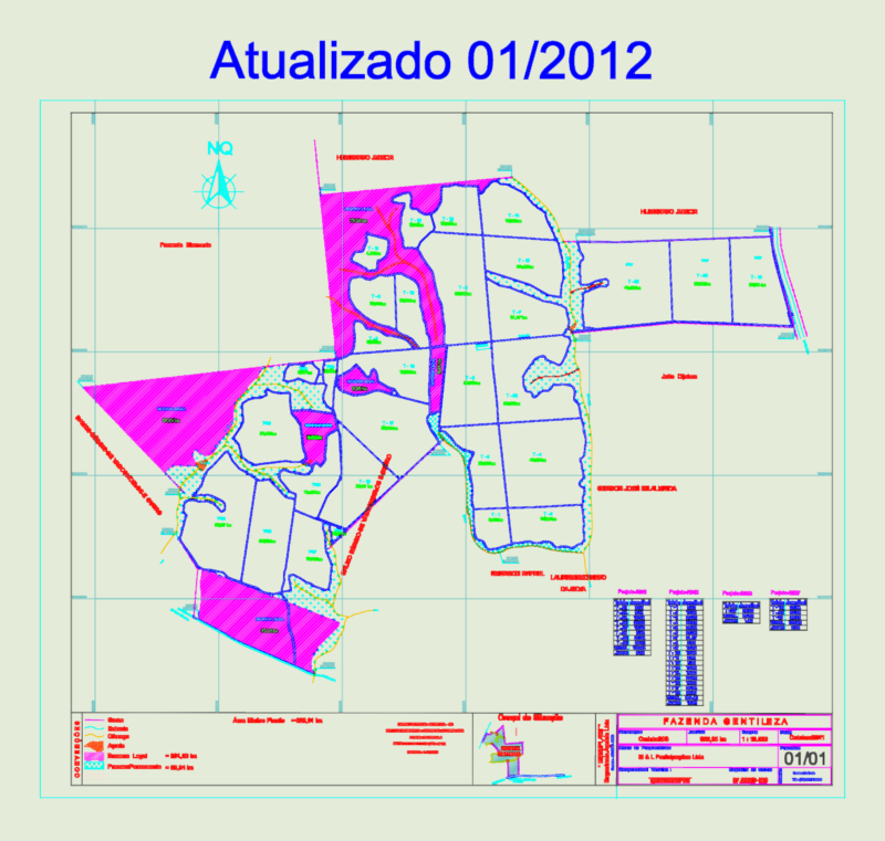
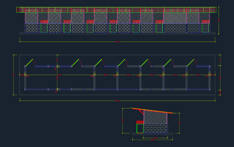
Content covers farm and orchard master plans (with parcelled fields, hectare schedules, and irrigation routing), land subdivision and rural-parcel plans, greenhouse and cold-storage facility site plans, rural land-use conversion plans, and supporting structures like water tanks and stands. Drawings carry area schedules, plot boundaries, and irrigation networks.
Most files are 2D plan DWG drawn to survey scale. AutoCAD 2010 or later opens every file. Free downloads cover working farm plans; premium files step up to full agricultural-project sets.
Farms is part of our broader Commercial catalog. Related collections: City Plans for land subdivision context, Utilitarian Buildings for barns and storage, Industrial for processing facilities, and Water, Sewage & Electricity Infrastructure for irrigation and water supply.