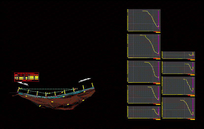
It rises with scanner for sections every 10m and to obtain the volumes of altimetry and planimetry of the place on the highway; contours at each 50cm is presented including ditches and freeway lanes
Drawing labels, details, and other text information extracted from the CAD file (Translated from Spanish):
construction picture, side, c o o r d e n a d s, distance, bearing, est, to guadalajara, a tepic