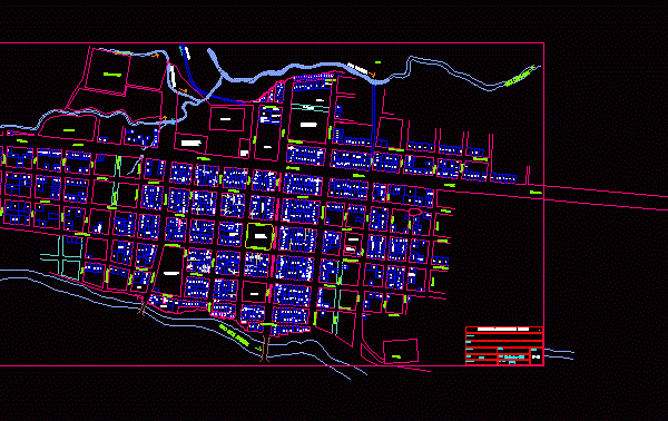
Monsefú Plat – Lambayeque Cadastral Map DWG Block for AutoCAD
MAP CATASTRAL Monsefú .. IN WHICH WE OBSERVE THE ZONING; LAND USES; ROAD; PROBLEM AND MANY INTERESTING ITEMS ON THE SUBJECT OF URBAN Drawing labels, details, and other text information…

MAP CATASTRAL Monsefú .. IN WHICH WE OBSERVE THE ZONING; LAND USES; ROAD; PROBLEM AND MANY INTERESTING ITEMS ON THE SUBJECT OF URBAN Drawing labels, details, and other text information…

Cadastral map San Martin de Pangoa Satipo Province; Junin Region;Peru Drawing labels, details, and other text information extracted from the CAD file (Translated from Spanish): campirushari, tobacco, cemetery, yavini, kimotary…

PLANIMETRY- PARCEL Drawing labels, details, and other text information extracted from the CAD file: name, pbase, pvgrid, pegct, pfgct, pegc, pegl, pegr, pfgc, pgrid, pgridt, right, peglt, pegrt, pdgl, pdgr,…

URBAN AREA DISTRICT POROY and semi Poroy Drawing labels, details, and other text information extracted from the CAD file (Translated from Spanish): topographers srl., own resources, fte. fto .:, management:,…

Cadastral Base Cofopri of urbanization August 14th district of Alto Selva Alegre – Arequipa. Contains lots; streets; and all measures and tables and bound. Drawing labels, details, and other text…
