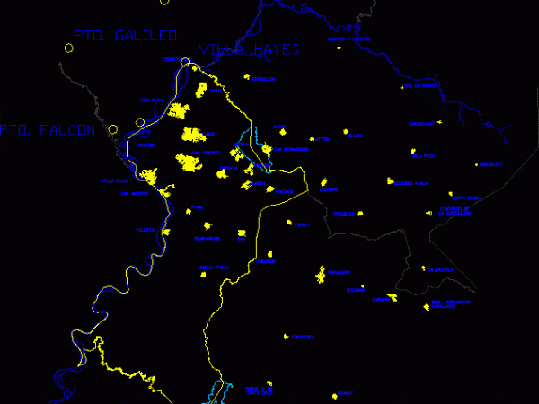
Paraguay – Map Central Department DWG Block for AutoCAD
Map Central department in dwg format – with urban ares of cities – Drawing labels, details, and other text information extracted from the CAD file (Translated from Spanish): streams streams,…

Map Central department in dwg format – with urban ares of cities – Drawing labels, details, and other text information extracted from the CAD file (Translated from Spanish): streams streams,…

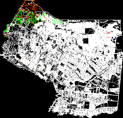
Area Flor Blanca stadium, Miramonte and Miralvalle Drawing labels, details, and other text information extracted from the CAD file (Translated from Spanish): av.norte, north av, av. north, av. north, south…

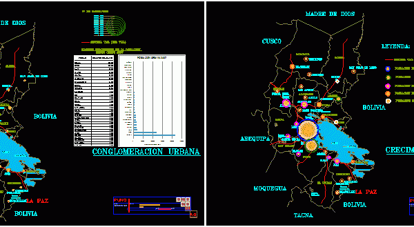
THIS WORK CONTAINS THE ROUTE OF THE REGION WITH ALL PROVINCES PUNO, EACH CONTAINING THE PLANS FIRST FIRST TOP 30 MOST POPULATED CITIES WITH POPULATION respective owner PICTURES OF INFLUENCE…

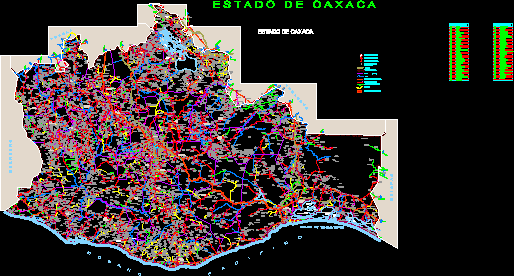
MAP OF THE STATE OF OAXACA, RIVERS, ROADS, HIGHWAYS, GAPS, TOWNS, CITIES Drawing labels, details, and other text information extracted from the CAD file (Translated from Spanish): esc., graphic scale,…

Map of the metropolitan area of ??three cities in Tamaulipas, Mexico. Drawing labels, details, and other text information extracted from the CAD file (Translated from Spanish): state, state of tamaulipas,…
