Contours DWG Block for AutoCAD
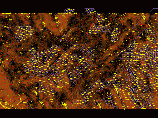
Contours of land for stakeout Raw text data extracted from CAD file: Language English Drawing Type Block Category Handbooks & Manuals Additional Screenshots File Type dwg Materials Measurement Units Metric…

Contours of land for stakeout Raw text data extracted from CAD file: Language English Drawing Type Block Category Handbooks & Manuals Additional Screenshots File Type dwg Materials Measurement Units Metric…

Peruvian National Letter – 33 curves in 3d Drawing labels, details, and other text information extracted from the CAD file: glosario, glossary, ign ref no., ed. no., nsn, boundaries, statute…

Level curves in San Luis Potosi; for a rainwater collector Drawing labels, details, and other text information extracted from the CAD file (Translated from Spanish): who, cough, guayanas, sto. Sunday,…

Shows the curves L BASIN LEVEL OF CAJAMARCA AND SAN MARCOS; THIS CAN PLS USE TO DETERMINE THE WATERSHED EXISTING. And also for road design. Drawing labels, details, and other…

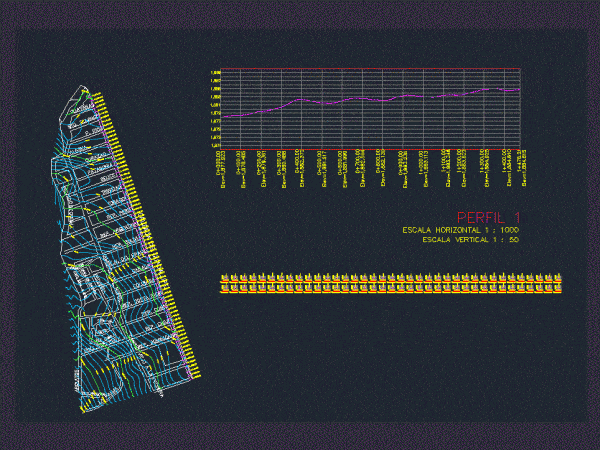
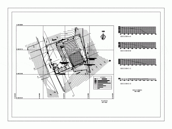
Topographic Map – profiles – contours Drawing labels, details, and other text information extracted from the CAD file (Translated from Spanish): admission box, files, topical, store, woman’s office, ss.hh., office…
