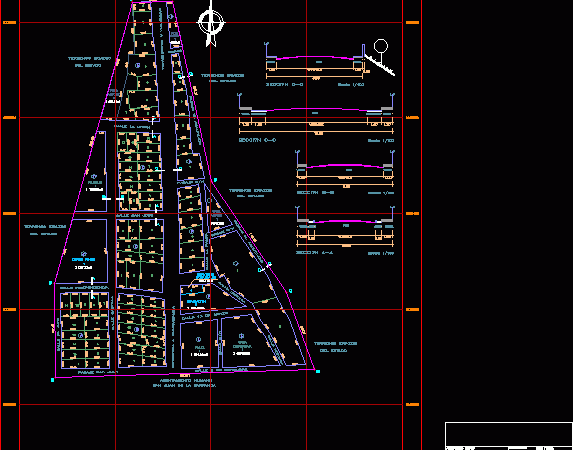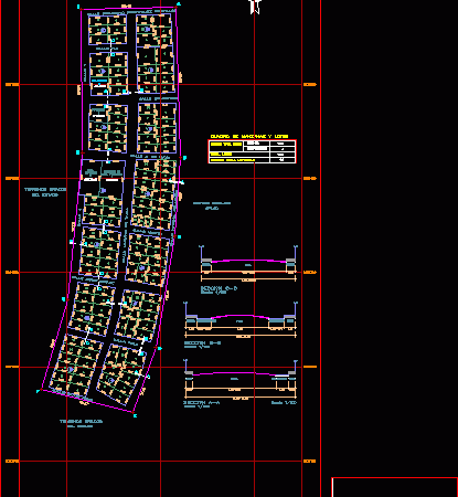
Road Lourdes Grotto – La Paz – BoÑIvia DWG Block for AutoCAD
Plane final design urbane layout that joins the Center of La Paz to the South zone adjacent to the Choqueyapu River Drawing labels, details, and other text information extracted from…

Plane final design urbane layout that joins the Center of La Paz to the South zone adjacent to the Choqueyapu River Drawing labels, details, and other text information extracted from…

FINAL PLAN COMPLETE WITH HIGH CURRENT ROAD SECTIONS OF THE CANYON (LOCATED IN AREQUIPA – CASTILLA) Drawing labels, details, and other text information extracted from the CAD file (Translated from…

MAP WITH COMPLETE FINAL LAYOUT AND CURRENT CHANGES divided of Casquin (Lotc. IN AREQUIPA – CASTILLA) Drawing labels, details, and other text information extracted from the CAD file (Translated from…

FINAL PLAN COMPLETE WITH CURRENT CHANGES AND LAYOUT OF THE REAL lotizada (located. IN AREQUIPA – CASTILLA) Drawing labels, details, and other text information extracted from the CAD file (Translated…

FINAL PLAN WITH FULL CURRENT LAYOUT CHANGES; LOTS, ROADS AND SECTIONS OF VILLA APLA (located IN AREQUIPA – CASTILLA) – Not to be confused with Town Center Aplao Drawing labels,…
