Map Of Monsefu, Peru DWG Block for AutoCAD
First Km along the road from Monsefu road showing the location of various landmarks such as El Tamboand and La Estancia de Monsefu, plus three lots for possible location of…

First Km along the road from Monsefu road showing the location of various landmarks such as El Tamboand and La Estancia de Monsefu, plus three lots for possible location of…

VILLA DOLORES IS 300 KM OF CORDOBA CITY. POPULATION 50,000. 25 DISTRICTS. MAP SHOWS IMPORTANT INFRASTRUCTURE–IRRIGATION CANALS; DITCHES; PIPES, UNDERGROUND WATER RESERVOIR, ETC. Drawing labels, details, and other text information…

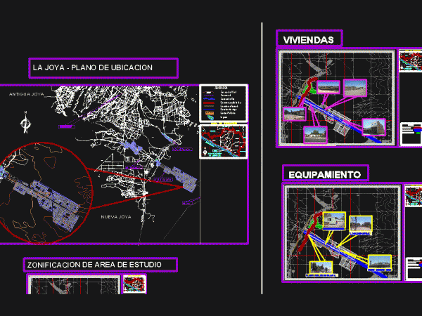
Planes with homes that arise today in La Joya for the district 48 km from La Gloria where we can see the various different types of wings own city of…

Signalling according to requirements for vials with average speed less than 60 km / h (urban) in Mexico. Language N/A Drawing Type Block Category City Plans Additional Screenshots File Type…

Km 17.4 TO SAN JOSE PINULA.; Fraijanes; Guatemala Drawing labels, details, and other text information extracted from the CAD file (Translated from Spanish): tower, to. maneuvers, restaurant, kitchen, tables, tables,…
