Lima Historical Center DWG Block for AutoCAD
Land Use – Lima – Historical Center Drawing labels, details, and other text information extracted from the CAD file (Translated from Spanish): pje, from porres, San Martin, industrial, lime, braid,…

Land Use – Lima – Historical Center Drawing labels, details, and other text information extracted from the CAD file (Translated from Spanish): pje, from porres, San Martin, industrial, lime, braid,…

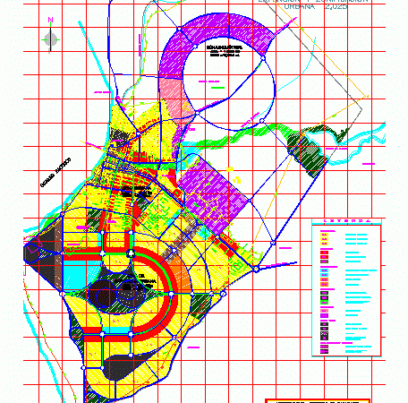
Zoning and land use Pacasmayo District; Freedom Drawing labels, details, and other text information extracted from the CAD file: expansion urbana, perim. ml., zona de, area has, perim. ml., zona…

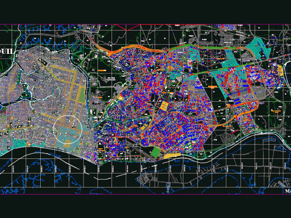
Distribution of the city of Guayaquil with its respective land use Drawing labels, details, and other text information extracted from the CAD file: scale:, plan, refx floor plan, description, date,…

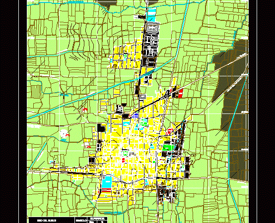
LAND USES OF THE CITY OF FLOWERS MONSEFU; LOCATION LOTS OF TRADE; HOUSING; GREEN AREAS; HEALTH; EDUCATION, ETC WITH ITS COLORS AND PERCENTAGES. Drawing labels, details, and other text information…

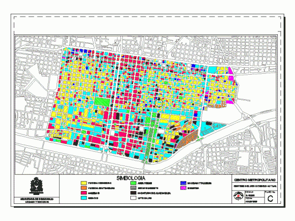
Monterrey – Land Use Drawing labels, details, and other text information extracted from the CAD file (Translated from Spanish): r. town hall of monterrey, symbology, development secretary, urban ecology, plan…
