Solar Graphics, Shadows, Calculations DWG Plan for AutoCAD
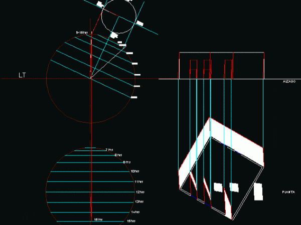
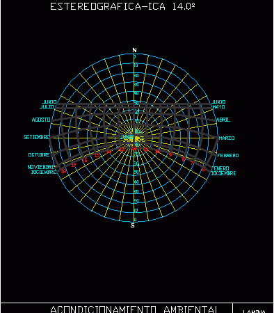
Latitude 22 ° N; provides the shadows in plan and elevation, it provides illustrative graphical representation. Drawing labels, details, and other text information extracted from the CAD file (Translated from…


