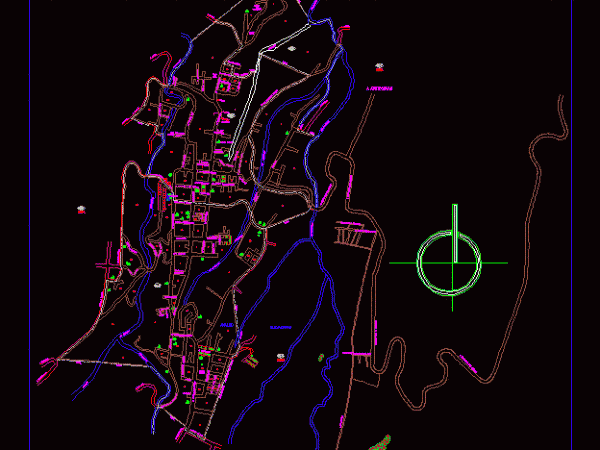
Tlatlauquitepec; Puebla DWG Block for AutoCAD
Tlatlauquitepec Township; Puebla is located in the Sierra Norte de Puebla; part of the Region Teziutlán and has its headwaters in the City Tlatlauquitepec. It has a population of nearly…
![]()

Tlatlauquitepec Township; Puebla is located in the Sierra Norte de Puebla; part of the Region Teziutlán and has its headwaters in the City Tlatlauquitepec. It has a population of nearly…

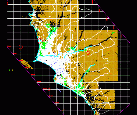
PLANO DEL VALLE DE LURIN PETT – COFOPRI Drawing labels, details, and other text information extracted from the CAD file (Translated from Spanish): z.l., av. malecon lurin, old huarochiri road,…
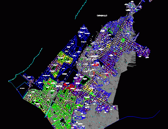
MAP OF Carabaillo Ditrito; MAP OF NORTH LIMA; Topographic Map. Drawing labels, details, and other text information extracted from the CAD file: t.e.c., t.s.c., t.e.c., t.e.c., t.s.c., t.s.c., t.e.c., t.s.c.,…
Database file to location and location plans Drawing labels, details, and other text information extracted from the CAD file (Translated from Norwegian): xref, av.proceres, c.e.p. leave the matter, pza., independencia,…
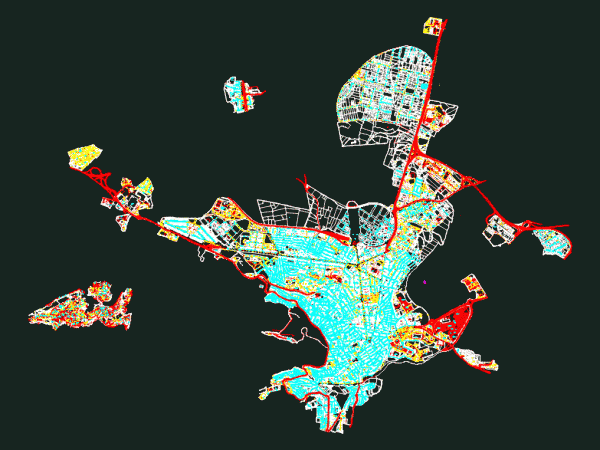
STREET CAPITAL JAEN Drawing labels, details, and other text information extracted from the CAD file (Translated from Spanish): av., inf., Elena, Street, girls, football field, stadium, the victory, Street, infanta,…