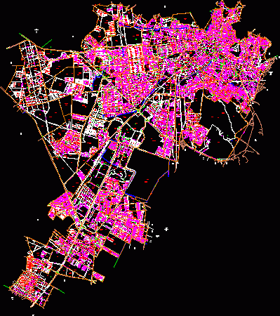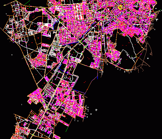
Pachuca City Mexico DWG Block for AutoCAD
Planimetry of Pachuca City – Hidalgo Raw text data extracted from CAD file: Language N/A Drawing Type Block Category City Plans Additional Screenshots File Type dwg Materials Measurement Units Footprint…

Planimetry of Pachuca City – Hidalgo Raw text data extracted from CAD file: Language N/A Drawing Type Block Category City Plans Additional Screenshots File Type dwg Materials Measurement Units Footprint…

Map of the city of Pachuca Hidalgo has a name of each street and the census tract number in each block Raw text data extracted from CAD file: Language N/A…

Plan a subdivision. It contains the subdivision of the project cuts roads; reference table (table surfaces – lots section. Box areas) bounded; esc 1: 1000. Drawing labels, details, and other…

SUBDIVISION EL DORADO LOCATED IN PACHUCA CITY. LOTS OF 6 AND 7 m FRONTAGE. ROADS, OFF SITES, PUBLIC AREAS, GREEN AREAS AND INFORMATION. Drawing labels, details, and other text information…

Plano cadastre Drawing labels, details, and other text information extracted from the CAD file (Translated from Spanish): the spanish, neighborhood, ruin, parallel of gardenia, Pedro Escobedo, thought, new francisco i….
