
Map Of Cochabamba DWG Section for AutoCAD
Is the political map of the Autonomous Departameto Cochabamba which is divided by the sections Drawing labels, details, and other text information extracted from the CAD file (Translated from Spanish):…
![]()

Is the political map of the Autonomous Departameto Cochabamba which is divided by the sections Drawing labels, details, and other text information extracted from the CAD file (Translated from Spanish):…
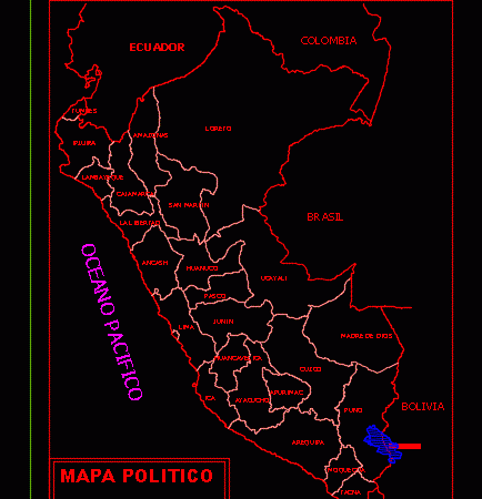
General Planimetria – designations Drawing labels, details, and other text information extracted from the CAD file (Translated from Spanish): lambayeque, Pacific Ocean, you lie, piura, San Martin, Chile, Mother of…

Plane Argentine Republic with Political division Drawing labels, details, and other text information extracted from the CAD file (Translated from Spanish): graphic scale Raw text data extracted from CAD file:…