Plano Mendoza DWG Block for AutoCAD
Plano indicating streets, squares and green sectors / areas / Mendoza Argentina map plane. Drawing labels, details, and other text information extracted from the CAD file (Translated from Spanish): guaymallen,…

Plano indicating streets, squares and green sectors / areas / Mendoza Argentina map plane. Drawing labels, details, and other text information extracted from the CAD file (Translated from Spanish): guaymallen,…

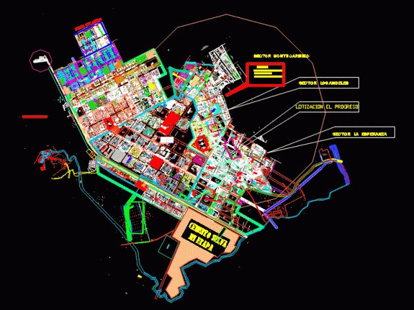
It is the land of the Alliance Alto district in the city of Tacna. In the foreground is drawn into sectors; land uses and road structure; primary and secondary. The…

FLAT SECOND UPDATE Jerusalem; WITH LOTS; APPLES; And sectors; Oxidation ponds; ETC. Drawing labels, details, and other text information extracted from the CAD file (Translated from Italian): n.g., mz., mz.,…

Location map of the top of the band shilcayo sectors 2 and 3 respectively; function of territorial analysis of the area Drawing labels, details, and other text information extracted from…

Cajamarca cadastral plan with contour lines Drawing labels, details, and other text information extracted from the CAD file: unc, jr. junin, jr. cumbe mayo, jr. las ruinas, jr. san ramon,…
