Map Of Monsefu, Peru DWG Block for AutoCAD
First Km along the road from Monsefu road showing the location of various landmarks such as El Tamboand and La Estancia de Monsefu, plus three lots for possible location of…

First Km along the road from Monsefu road showing the location of various landmarks such as El Tamboand and La Estancia de Monsefu, plus three lots for possible location of…

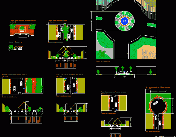
Subdivision by housing type. This file has the overall architectural plan showing the different areas of occupation. It also has architectural sections, roadways, nomeclature naming and lighting plans. Drawing labels,…

File urban conformation showing Federal District and Heritage Conservation Areas (GPA) Cuajimalpa delegations; Coyoacan Iztapalapa, La Magdalena Contreras, Tlalpan and Milpa Alta, in turn represent more roads and less dimension…

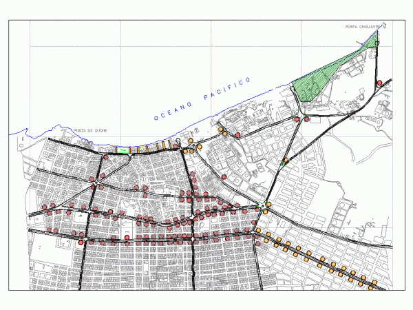
SUCHE BEACH CITY MAP SHOWING ITEMS EXCHANGE Drawing labels, details, and other text information extracted from the CAD file (Translated from Spanish): captive, tank, sidewalk, sidewalk, court, sports, free fair,…

DWG file with extension showing in over a hundred prints the structural calculation of a building of 4 levels. Drawing labels, details, and other text information extracted from the CAD…
