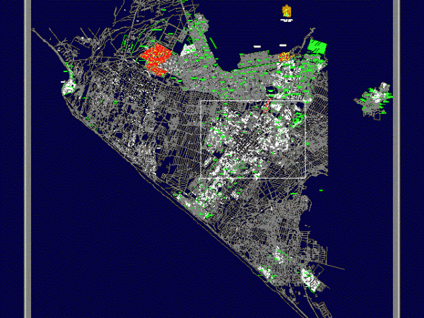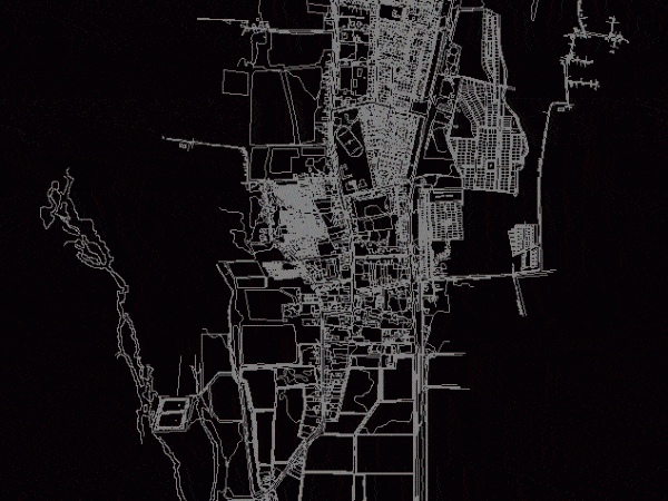
Plano De Monterrey – Land Use DWG Plan for AutoCAD
Monterrey is a sketch of unnamed streets; is very useful to outline plans for students. Drawing labels, details, and other text information extracted from the CAD file (Translated from Catalan):…

Monterrey is a sketch of unnamed streets; is very useful to outline plans for students. Drawing labels, details, and other text information extracted from the CAD file (Translated from Catalan):…

Trujillo plane; the total number of streets and avenues surrounding the city of Trujillo is located. Drawing labels, details, and other text information extracted from the CAD file (Translated from…

Detailed map showing all urban distribution of the municipality of Campeche; besides having the name of streets and avenues. Drawing labels, details, and other text information extracted from the CAD…

Resistance Chaco plane with streets and buildings. also contains cadastral nomenclature is a city of Argentina Drawing labels, details, and other text information extracted from the CAD file (Translated from…

SURVEYING THE TOWN OF Nancagua; SIXTH REGION OF LIBERTADOR BERNARDO OHIGGINS. STREETS; CERROS; HOUSES. Drawing labels, details, and other text information extracted from the CAD file (Translated from Spanish): way…
