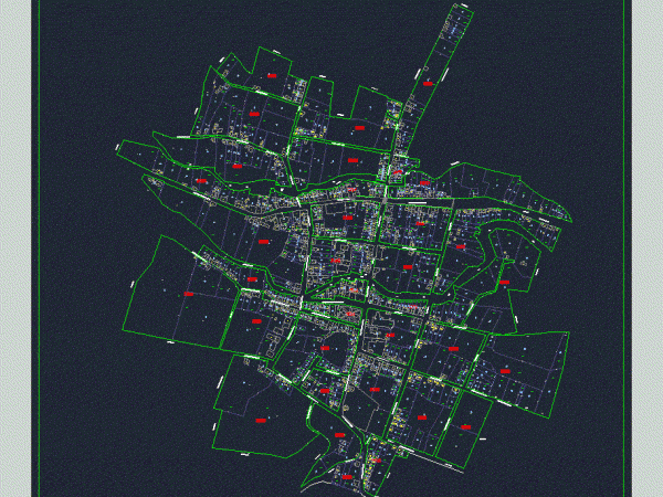
Chaclacayo Plane DWG Block for AutoCAD
streets are shown; avenues and lots of Chaclacayo near chosica with xy coordinates in real; located south of Lima. Map Chaclacayo; Lime; Peru Drawing labels, details, and other text information…

streets are shown; avenues and lots of Chaclacayo near chosica with xy coordinates in real; located south of Lima. Map Chaclacayo; Lime; Peru Drawing labels, details, and other text information…

Lotificacion plane; with defined blocks and their respective codes and the name of the streets; and the numbering of lots per block. Drawing labels, details, and other text information extracted…

Project pedestrian corridor with bike paths; recreation areas and streets intervened. It also contains land use in the treatment area. Drawing labels, details, and other text information extracted from the…

Plano city of Chihuahua; Chihuahua. Mexico Streets; main avenues; major colonies; historical Center; urban planning of the city of Chihuahua; UACH new university campus; parks; industrial complex Drawing labels, details,…

Map – streets – plots Drawing labels, details, and other text information extracted from the CAD file (Translated from Spanish): passage, avenue, Street, Street, Street, Street, avenue enrique meiggs, green…
