Historic Center DWG Plan for AutoCAD
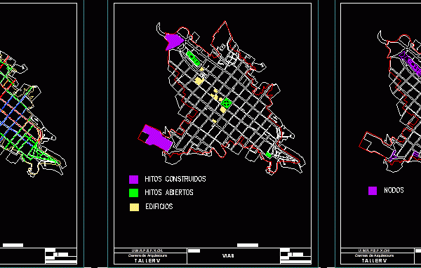
Plans description Histrorical Center of the city of Sucre – Bolivia Drawing labels, details, and other text information extracted from the CAD file (Translated from Spanish): nodes, milestones, paths, built…

Plans description Histrorical Center of the city of Sucre – Bolivia Drawing labels, details, and other text information extracted from the CAD file (Translated from Spanish): nodes, milestones, paths, built…

Systems of parks and green spaces in the city of Sincelejo, Sucre Drawing labels, details, and other text information extracted from the CAD file (Translated from Spanish): ordering lt, sans,…

Road system Sincelejo, Sucre Drawing labels, details, and other text information extracted from the CAD file (Translated from Spanish): ordering lt, regional, ocala bypass, the Alps, plan no, ordering lt,…

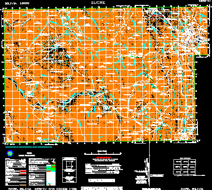
Letter Scale 1/50.000 Sucre complete hydrographic contour roads, orography, stocks, etc. psad geodetic system – 56 Drawing labels, details, and other text information extracted from the CAD file (Translated from…

division de estratificacion de la ciudad de sincelejo sucre Drawing labels, details, and other text information extracted from the CAD file (Translated from Spanish): ordering lt, adure, adur urban residential…
