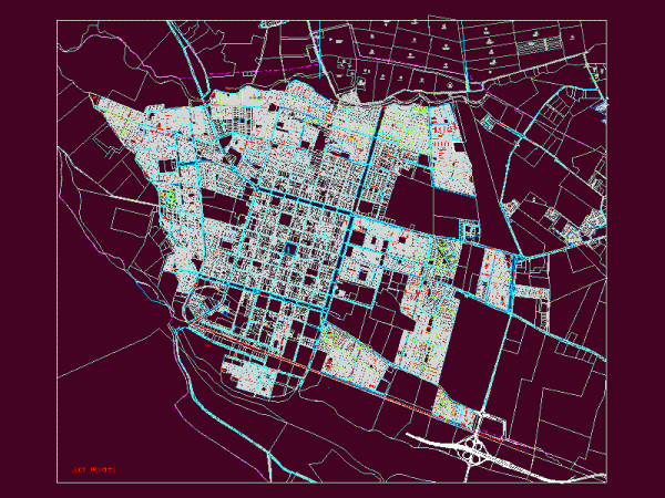
San Felipe DWG Block for AutoCAD
Map of the city of San Felipe in the central valley of Chile Drawing labels, details, and other text information extracted from the CAD file: antonio gavilucci, hto. vivas, hto….

Map of the city of San Felipe in the central valley of Chile Drawing labels, details, and other text information extracted from the CAD file: antonio gavilucci, hto. vivas, hto….

Planimetries – parcel Drawing labels, details, and other text information extracted from the CAD file (Translated from Spanish): marine, belt, marine, belt, marine, belt, marine, belt, marine, belt, marine, belt,…

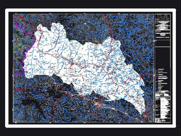
Project planning and Vilcanota Valley Rehabilitation containing the topography, rivers, glaciers, lakes, streams, main roads, district boundaries of the provinces of Calca – Urubamba Drawing labels, details, and other text…

This hotel is conceptualized in the mountains that are located here has cut facades; 5 levels with suites; lobby; shopping area; restaurant; bar – plants – Cortes Drawing labels, details,…

Plano urban habilitation of 43, 873 square meters. Drawing labels, details, and other text information extracted from the CAD file (Translated from Spanish): June culture avenue extension, sub lot, shape,…
