Michoacan Map DWG Block for AutoCAD
Michoacan map ,Cartography , Roads net , Airports , Rail sectors Drawing labels, details, and other text information extracted from the CAD file (Translated from Spanish): Mex, Michoacán, Transport secretary,…

Michoacan map ,Cartography , Roads net , Airports , Rail sectors Drawing labels, details, and other text information extracted from the CAD file (Translated from Spanish): Mex, Michoacán, Transport secretary,…

Plàne District La Molina in Lima – Perú Drawing labels, details, and other text information extracted from the CAD file (Translated from Spanish): Old mill, Urb. the, The electricians, The…

Map Morelia’s street Drawing labels, details, and other text information extracted from the CAD file (Translated from Spanish): Francisco manuel sanchez de tagle, door, Juan caballero leisure, Camellones, Fray diego…

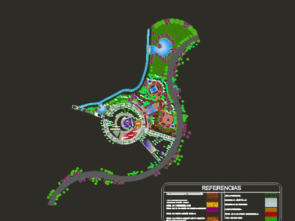
This is the design and zoning of a project of an ecotourism park with an integral design, it has a bus terminal unit, restaurant, kitchen, mechanic shop, service station, bullring,…

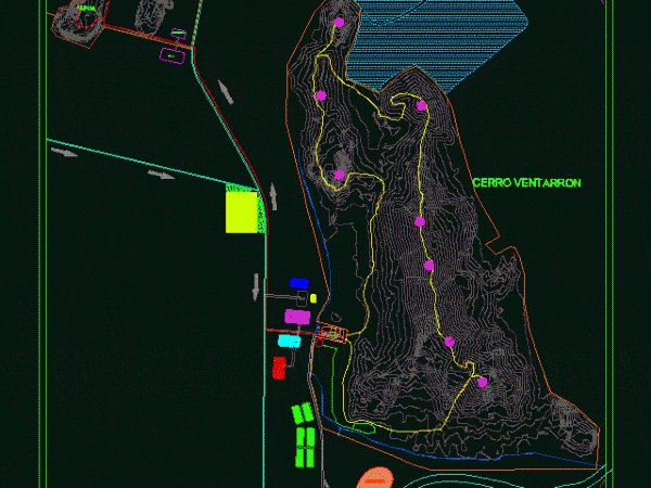
This is the development of an archeological tourist area, this area is designed for research and archaeological research with complementary services, areas of diffusion, accommodation area, restaurant, administration area, this…
